graphic-art, print, etching, engraving
#
graphic-art
# print
#
etching
#
etching
#
cityscape
#
engraving
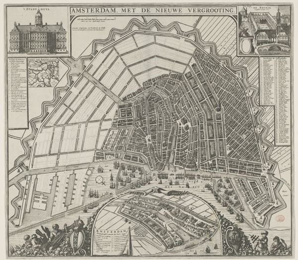
Dimensions: height 522 mm, width 631 mm
Copyright: Rijks Museum: Open Domain
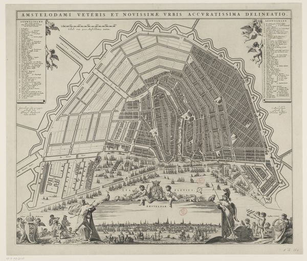
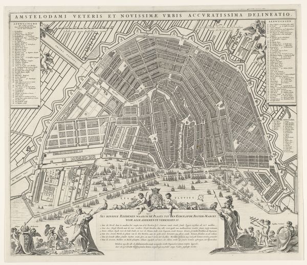
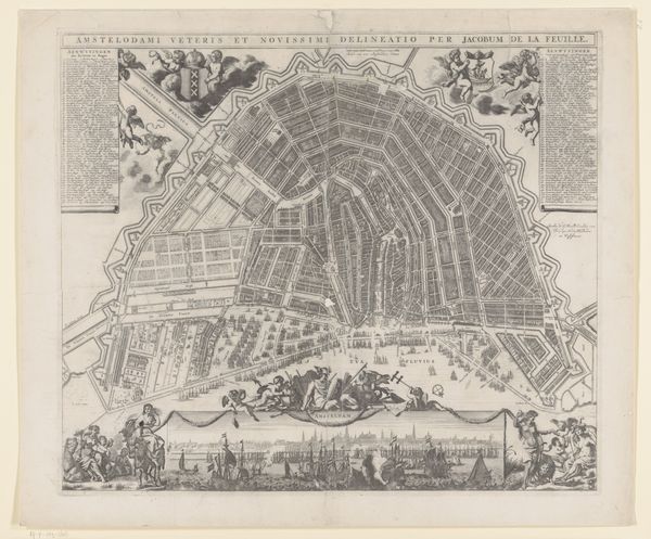
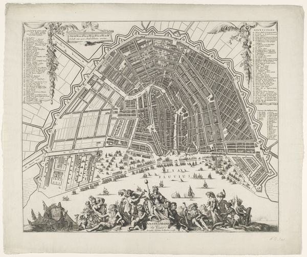
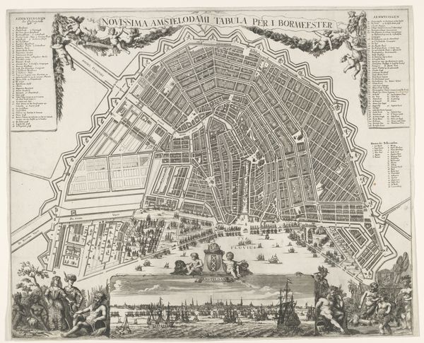
This is an anonymous map of Amsterdam, made with etching. It presents a bird's-eye view of the city that invites us to consider the relationship between space and representation. The map’s composition is meticulously structured. Streets and canals form a dense, reticular network, reflecting the rational planning of the city. The lines are precise, giving a sense of order. Yet, this controlled representation is also ornamented with detailed vignettes of city life and allegorical figures, creating a tension between objective cartography and subjective experience. The map thus transcends its function as a mere navigational tool. The grid-like structure echoes the Enlightenment's emphasis on reason and categorization, yet it also acknowledges the bustling, chaotic reality of urban life. This interplay suggests a semiotic system where the city is not just a physical space, but a cultural text to be interpreted. It questions fixed meanings and values by presenting multiple layers of information and interpretation. Consider how the map’s formal qualities—its lines, shapes, and overall composition—function not just aesthetically, but as a representation of Amsterdam's social and intellectual landscape. This intersection of form and context is where art generates enduring significance.
Comments
No comments
Be the first to comment and join the conversation on the ultimate creative platform.
More like this