drawing, print, paper, ink
#
drawing
#
aged paper
#
toned paper
#
baroque
# print
#
pen sketch
#
landscape
#
paper
#
personal sketchbook
#
ink
#
ink drawing experimentation
#
geometric
#
pen-ink sketch
#
pen work
#
sketchbook drawing
#
storyboard and sketchbook work
#
sketchbook art
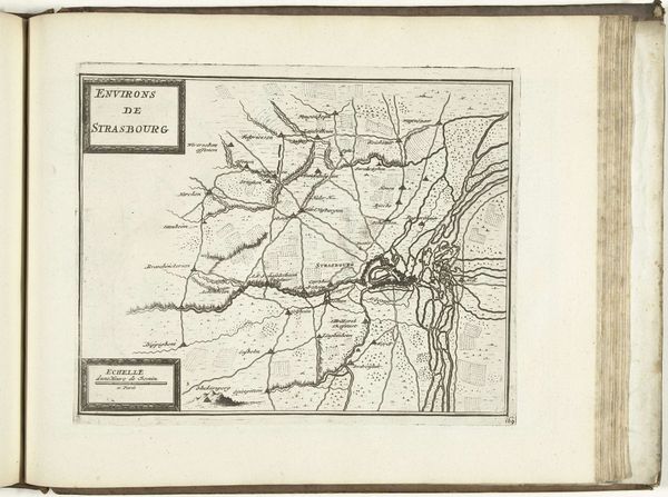
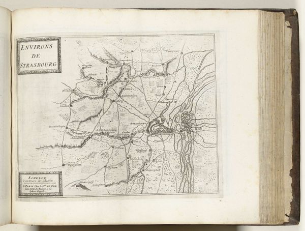
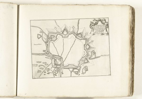
Dimensions: height 229 mm, width 280 mm
Copyright: Rijks Museum: Open Domain
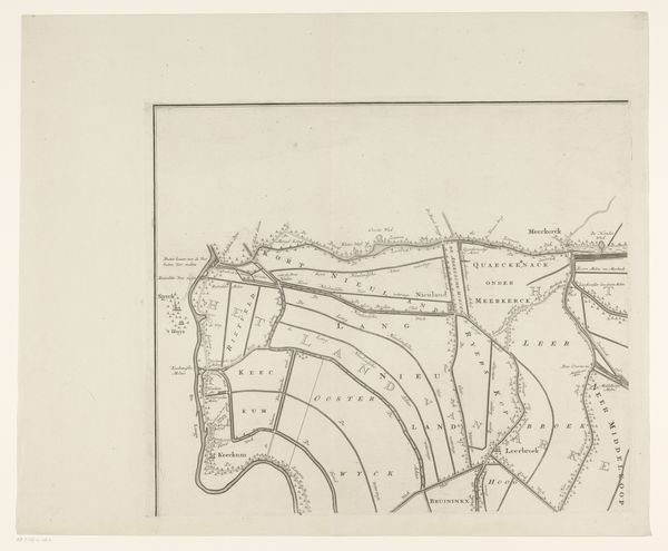
This is an anonymous map of Strasbourg and its surroundings from around 1702, rendered with ink on paper. The stark contrast of black lines against the off-white ground immediately catches the eye, creating a visual tension. This contrast isn’t merely aesthetic; it structures the entire composition. The network of lines, denoting roads and rivers, articulates space but also alludes to a power grid. Each stroke is deliberate, mapping not just geography but also suggesting the political and social structures that crisscross the landscape. The map meticulously charts physical space, yet it also reflects the cognitive and cultural frameworks that shaped the cartographer's worldview. Consider how the formal elements, like line and space, operate within the context of early 18th-century Europe, where cartography was both a science and a tool of statecraft. The map becomes a semiotic device, encoding layers of meaning that invite us to question how space is perceived, represented, and ultimately, controlled. It challenges us to consider how cartography, like all forms of representation, involves acts of selection and interpretation.
Comments
No comments
Be the first to comment and join the conversation on the ultimate creative platform.
More like this