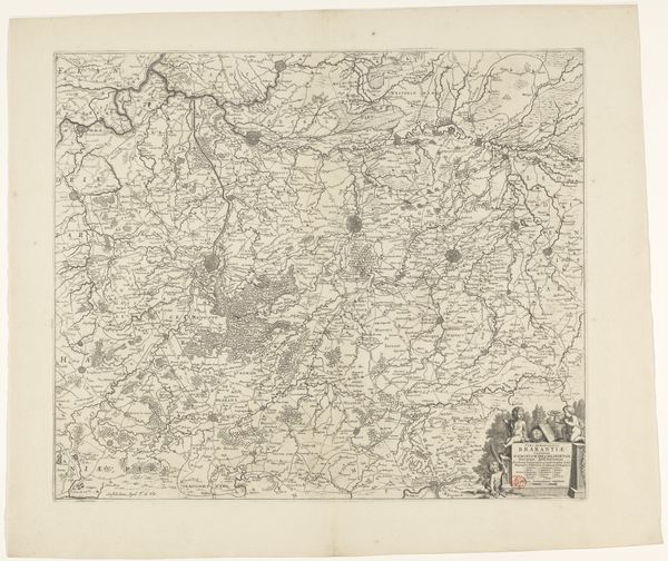
print, etching
# print
#
pen sketch
#
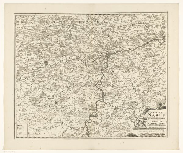
etching
#
landscape
#
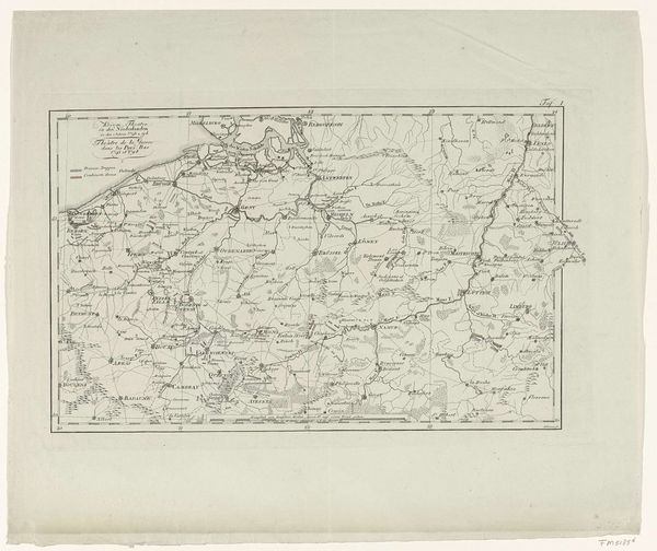
etching
#
geometric
Dimensions: height 435 mm, width 834 mm
Copyright: Rijks Museum: Open Domain
This is Adriaan Jan Bogaerts' map of the Zuiderwaterlinie, capturing the intricate network of waterways and fortifications. Water, a symbol of life and purification, here transforms into a defensive barrier, reflecting a deep-seated human impulse to control nature. The Zuiderwaterlinie itself is a potent symbol. We see these lines of defense echoing through time. Consider the Roman “limes”, or the Great Wall of China, each a testament to humanity’s enduring quest for security. These lines are never fixed. Over time, they shift and are altered by changing technology, mirroring the shifting anxieties of the culture that created them. Looking closely, we see the map's detailed rendering of the landscape. This is more than just geographical data, it is a snapshot of the landscape's ever-changing narrative of defense and adaptation. Each era leaves its mark, adding to the palimpsest of cultural memory etched into the earth.
Comments
No comments
Be the first to comment and join the conversation on the ultimate creative platform.
More like this