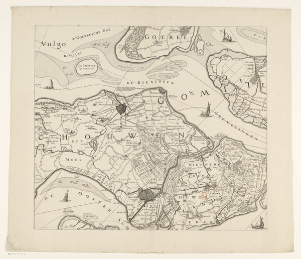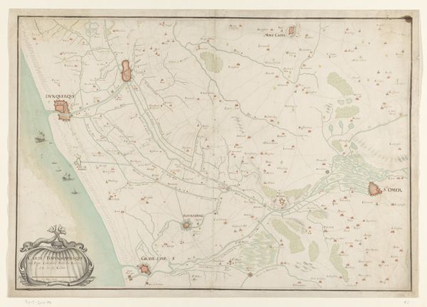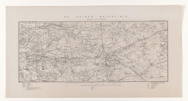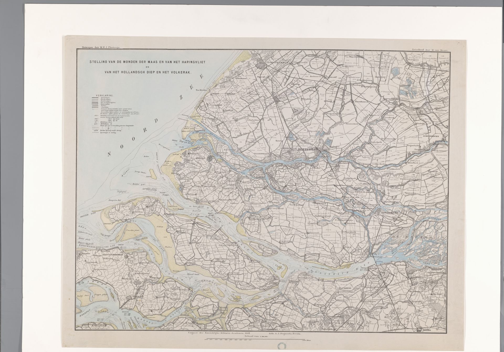
1882
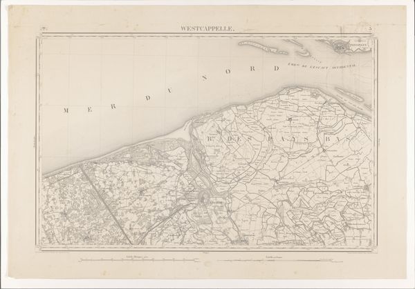
Kaart van een deel van Zuid-Holland en Zeeland
Listen to curator's interpretation
Curatorial notes
Adriaan Jan Bogaerts created this "Kaart van een deel van Zuid-Holland en Zeeland" as an exercise in cartographic representation, where he used ink and watercolor to chart a complex region. The composition is dominated by a network of linear delineations, illustrating land divisions and waterways that evoke a sense of intricate organization and control over space. Looking closely, one might ask how the map functions beyond mere representation. The use of distinct colors to differentiate land and sea isn't simply descriptive; it's a structuring principle that presents the territory as an ordered, manageable entity. Each segment, each line, operates as a sign, inviting interpretation within a structured system of spatial and political understanding. The strategic placement of waterways and territorial markers could even challenge our perception of natural and artificial boundaries, questioning where one begins and the other ends. In doing so, the map provokes questions about the construction of space and the power dynamics inherent in claiming and dividing territories.