print, paper
# print
#
landscape
#
paper
#
geometric
Dimensions: height 500 mm, width 649 mm
Copyright: Rijks Museum: Open Domain
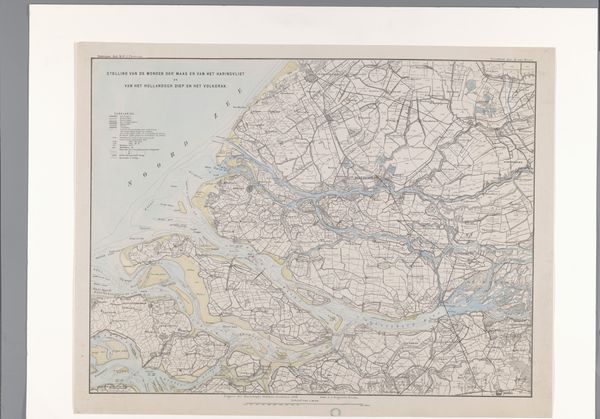
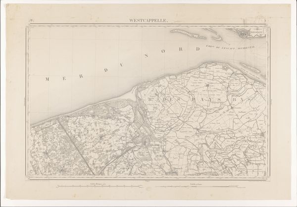
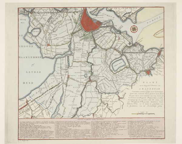
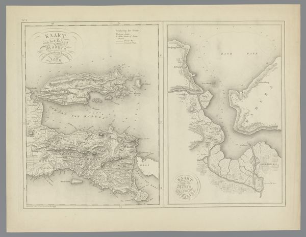
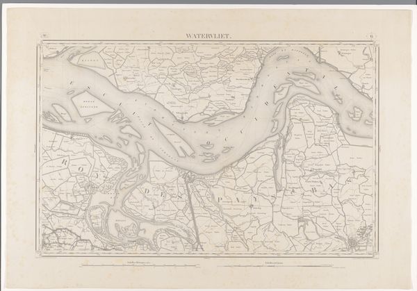
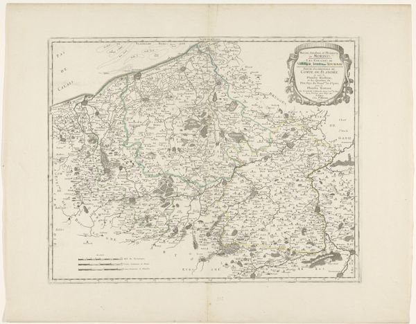
Curator: This is a 1909 print titled "Kaart van Zeeland en een gedeelte van Vlaanderen" – a map of Zeeland and part of Flanders. It’s printed on paper. Editor: My first impression is one of intense intricacy and control. The composition presents an interwoven network that hints at the complexities of land and water meeting and the human intervention in nature. Curator: Exactly! Consider the labor that went into creating this seemingly straightforward representation. Each line, each name, each distinction between land and sea—a product of meticulous surveying, engraving, and printing, indicative of the imperial mapping and resource management of the early 20th century. The paper itself represents a specific technological process, the rise of industrial papermaking shaping its availability and dissemination. Editor: But even within that industrialized process, I see artistic choices shaping its effectiveness. The restrained palette emphasizes function, certainly. The variations in line weight communicate different information—roadways, political boundaries, depth of the water. I find it almost beautiful in its rational objectivity. Curator: “Objectivity” is a myth carefully constructed! Look at the way territories are defined and borders are presented; this is not a neutral depiction. The map embodies power relations, reflecting the geopolitical landscape and the exercise of state authority. The industrial base supporting print production enabled the widespread distribution of such cartographic visions. Editor: Fair enough, it does project control. However, I'm more captivated by how those neat geometries intersect. Look how the branching waterways are juxtaposed against the rectangular parcels of land! There's a delicate balance between organic forms and structured grids. Curator: Yes, that interface speaks to the imposition of human-designed structures on the environment, fundamentally altering it through infrastructural projects like canals and agricultural rationalization, shifting land ownership and the circulation of goods and people through industrial means. Editor: Still, there's a calming sense of order, wouldn't you say? Perhaps a testament to our human aspiration to grasp and tame our world, visually simplifying complexity. Curator: An aesthetic lens alone obscures the processes of resource extraction and labor exploitation intrinsic to its creation and function. A map is never just an objective representation of reality. It is a socio-political construct. Editor: Well, even knowing all of that, the enduring elegance of design continues to inspire awe and appreciation, wouldn’t you say?
Comments
No comments
Be the first to comment and join the conversation on the ultimate creative platform.
More like this