drawing, watercolor
#
drawing
#
dutch-golden-age
#
watercolor
#
cityscape
#
watercolour illustration
Dimensions: height 455 mm, width 555 mm
Copyright: Rijks Museum: Open Domain
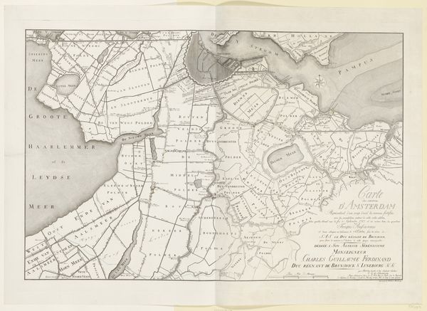
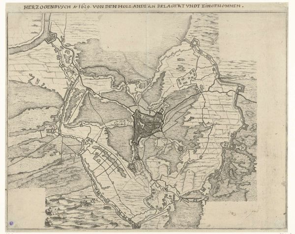
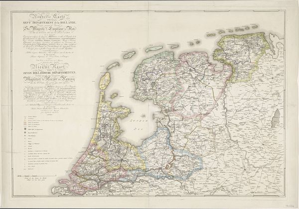
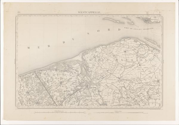
This is Cornelis van Baarsel's "Kaart van inundatie rond Amsterdam," made in 1787. It's an engraved map, printed on paper, showing the area around Amsterdam and how it could be flooded as a defense strategy. Maps like this required a combination of skills. The engraver needed technical expertise to transfer the design onto a metal plate, using tools to create fine lines that would hold the ink. It was a laborious, painstaking process. Cartography was also an intellectual activity – maps were critical instruments for trade and geopolitical power, as nations expanded their reach. This map reflects the uneasy peace of late 18th-century Europe, with defense the primary concern. In its own way, this print embodies the complex interplay of craft, information, and political strategy. It’s a reminder that even seemingly utilitarian objects can have deep cultural significance.
Comments
No comments
Be the first to comment and join the conversation on the ultimate creative platform.
More like this