drawing, print, paper, ink
#
drawing
# print
#
landscape
#
paper
#
ink
#
coloured pencil
#
geometric
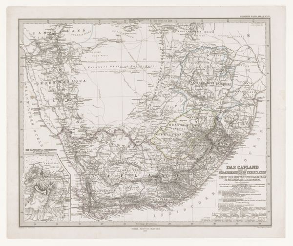
Dimensions: height 387 mm, width 487 mm
Copyright: Rijks Museum: Open Domain
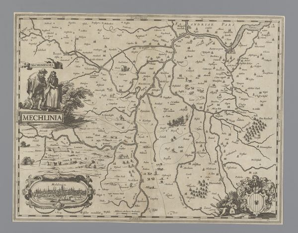
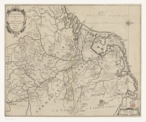
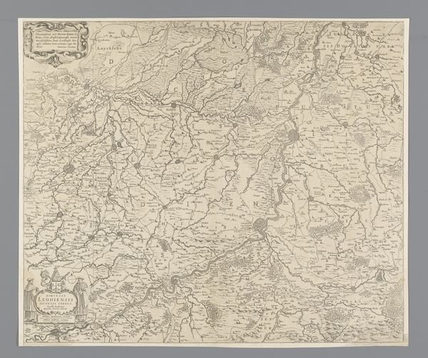
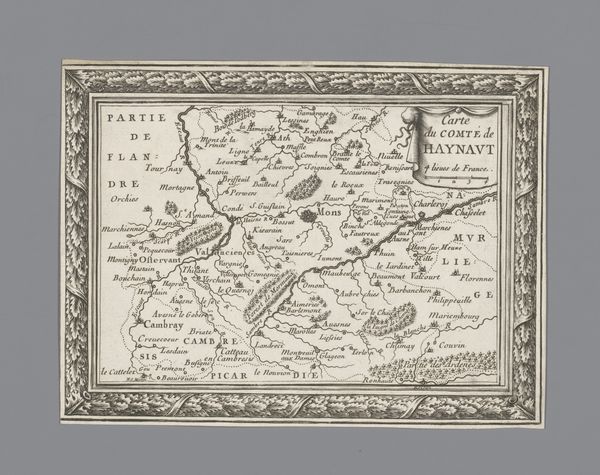
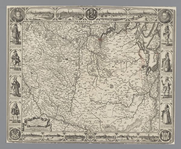
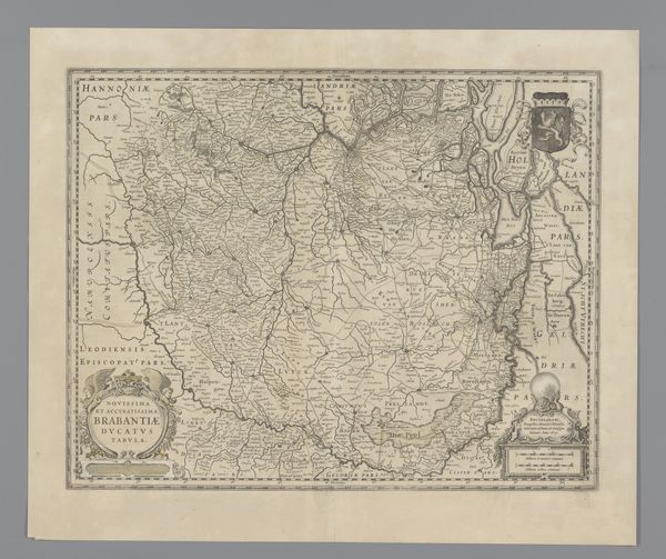
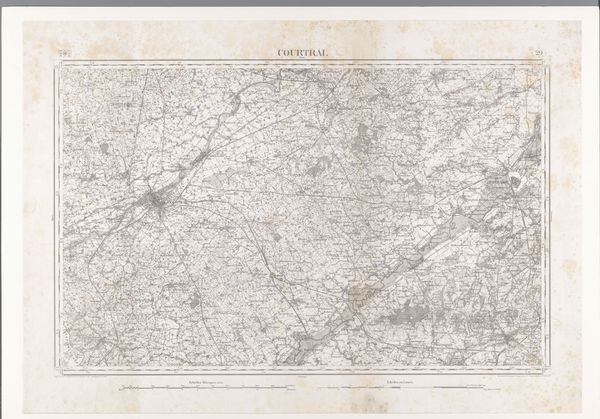
Curator: This is an anonymous map titled "Kaart van Zuid-Afrika met de voormalige Kaapkolonie," which translates to "Map of South Africa with the former Cape Colony," dating from between 1841 and 1856. It’s created using drawing and print techniques on paper, with ink detailing. Editor: Immediately, I notice the weight of lines marking borders; they aren’t just geographic. It evokes a very specific power dynamic through the visual language of cartography. There's a muted palette that feels both antiquated and perhaps intentionally understated, masking deeper implications. Curator: Absolutely. The history of cartography is deeply intertwined with colonial expansion and control. Maps like these were not simply neutral representations of geography. They were tools used to delineate territory, establish claims of ownership, and solidify power structures. The former Cape Colony represents the long history of European, particularly Dutch and British, encroachment into southern Africa, and its impacts are very apparent on a modern geopolitical scale. Editor: Exactly. Consider the way indigenous territories are often omitted or misrepresented on these maps. The silences speak volumes, contributing to the erasure of native histories and reinforcing a Western-centric worldview. Where are the names and the claims of the peoples who lived on that land first? Curator: It's interesting, too, to think about the act of *making* the map, the physical act of drawing those boundaries. Who had access to the information to create such a document, and what assumptions did they bring to the process? Were existing African trade routes or territorial boundaries accurately recorded or intentionally ignored? Editor: And the implications extend to the present. Thinking intersectionally, how does this historical representation continue to affect contemporary identity, race relations, and political landscapes in South Africa? This image provides insights to understand persisting tensions in post-colonial South African societies. Curator: Indeed. Reflecting on the map’s visual presence today challenges our conventional understandings of both the past and present. We might consider the enduring power of the archive, and the active role museums have in presenting these kinds of contested artifacts. Editor: Examining its aesthetic, understanding its production, and unraveling its embedded socio-political messages certainly provides valuable insight into historical contexts and illuminates avenues for social justice advocacy.
Comments
No comments
Be the first to comment and join the conversation on the ultimate creative platform.
More like this