drawing, print, etching, paper
#
drawing
#
water colours
# print
#
etching
#
paper
#
geometric
Copyright: Public Domain
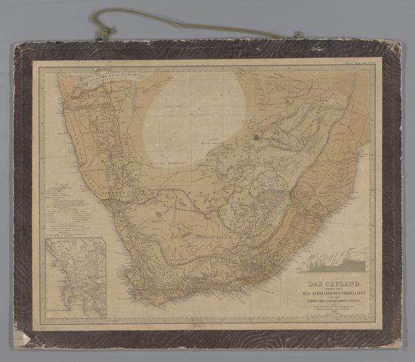
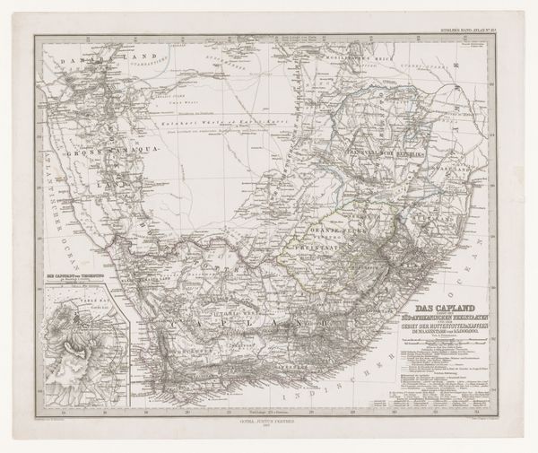
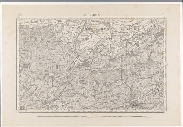
This is a map of the Colony of New South Wales and Australia Felix, made by W. & A. K. Johnston. Mapping, in the context of colonial expansion, was far more than a neutral act of geographical record-keeping; it was a tool of power. This map, likely produced in the mid-19th century, reflects the ambitions and assumptions of the British Empire. The very act of delineating and naming territories asserted control and justified settlement, often disregarding the existing presence and knowledge of Indigenous populations. Australia Felix, later known as Victoria, was promoted as a fertile and promising region. Cartography, therefore, served as a form of propaganda, encouraging migration and investment in the colony. Such maps need to be understood within the political and economic imperatives of the time. To fully understand this map, we should consult archival records, explorers' journals, and Indigenous accounts, piecing together a more complete picture of the social and institutional forces at play.
Comments
No comments
Be the first to comment and join the conversation on the ultimate creative platform.
More like this