drawing, print, etching, engraving
#
drawing
#
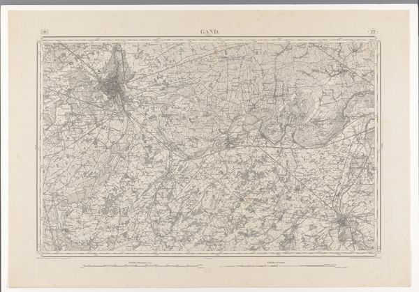
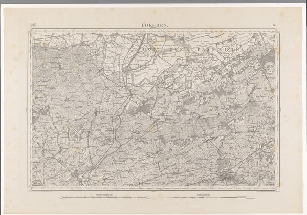
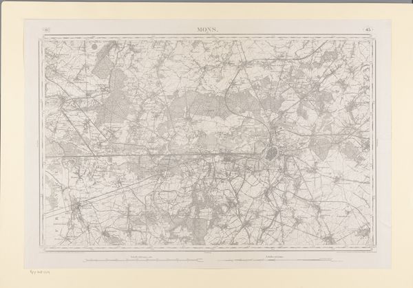
map drawing
# print
#
etching
#
landscape
#
etching
#
engraving
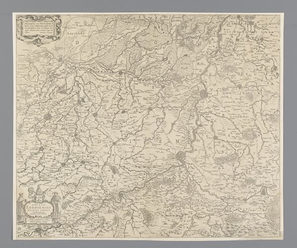
Dimensions: height 669 mm, width 959 mm
Copyright: Rijks Museum: Open Domain
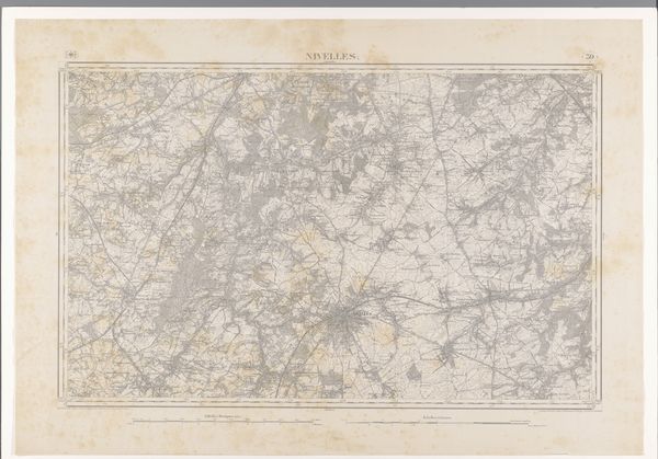
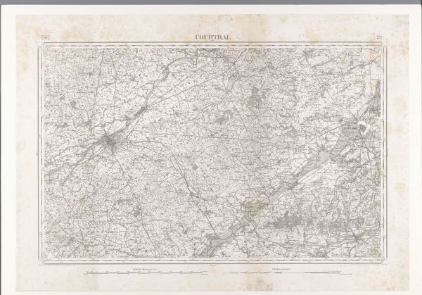
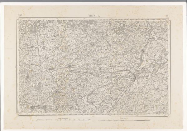
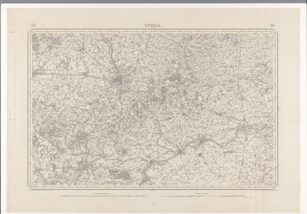
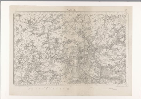
This is a map of the Tournay region, created by diverse makers using traditional cartographic techniques. Maps like this do more than just show geography; they reflect the power dynamics inherent in claiming and representing territory. Who gets to decide what is important enough to be mapped, and how does that shape our understanding of the space? Consider the act of mapping itself as an assertion of control, a way of imposing order and legibility onto a landscape. But this is just one version of the story, and there are always counter-narratives, ways of seeing the land that resist such totalizing visions. Think about the unmapped spaces, the roads not taken, the untold stories hidden within this landscape.
Comments
No comments
Be the first to comment and join the conversation on the ultimate creative platform.
More like this