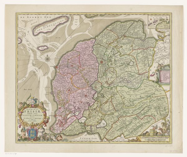
Kaart van Friesland en een deel van Groningen, Drenthe en Overijssel c. 1697
print, paper, engraving
treasure map
aged paper
dutch-golden-age
old engraving style
landscape
paper
personal sketchbook
engraving
Dimensions: height 430 mm, width 577 mm
Copyright: Rijks Museum: Open Domain
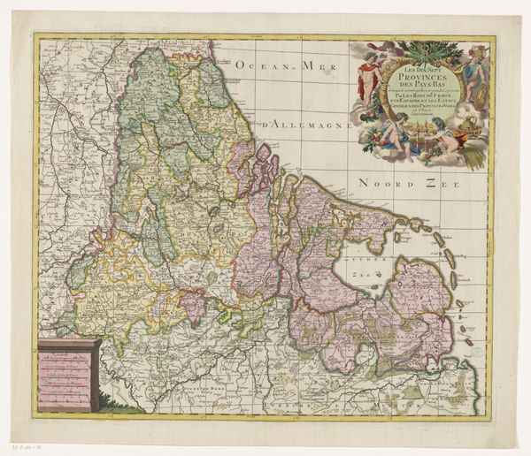
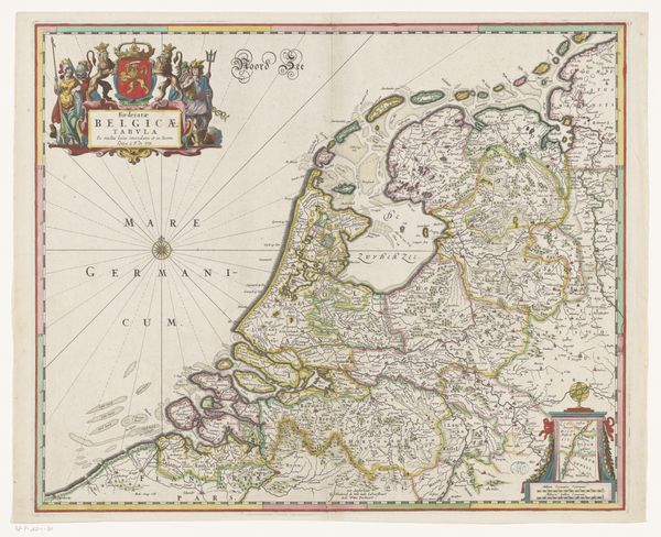
This map of Friesland, and parts of Groningen, Drenthe, and Overijssel, was made by Pieter Mortier around the turn of the 18th century. Produced in the Dutch Republic, this detailed cartographic work reflects the economic and political landscape of its time. The Dutch Golden Age was fueled by maritime trade and colonial expansion. Accurate maps were crucial for navigation, commerce, and military strategy. Mortier’s map, therefore, isn't just a neutral depiction of geography. Instead, it’s a tool for understanding the region's resources, settlements, and strategic importance. Notice how the map emphasizes territorial divisions and administrative boundaries. These distinctions highlight the complex patchwork of regional powers within the Republic. They reflect how local identities and governance were intertwined with broader political structures. To fully appreciate this map, we would need to examine archives, trade records, and political documents. These sources can reveal the social conditions that shaped both its production and its use. By looking into the context, we can see how this seemingly straightforward map reflects power relations and the social order of the Dutch Republic.
Comments
No comments
Be the first to comment and join the conversation on the ultimate creative platform.
More like this