Curatorial notes
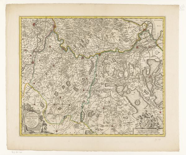
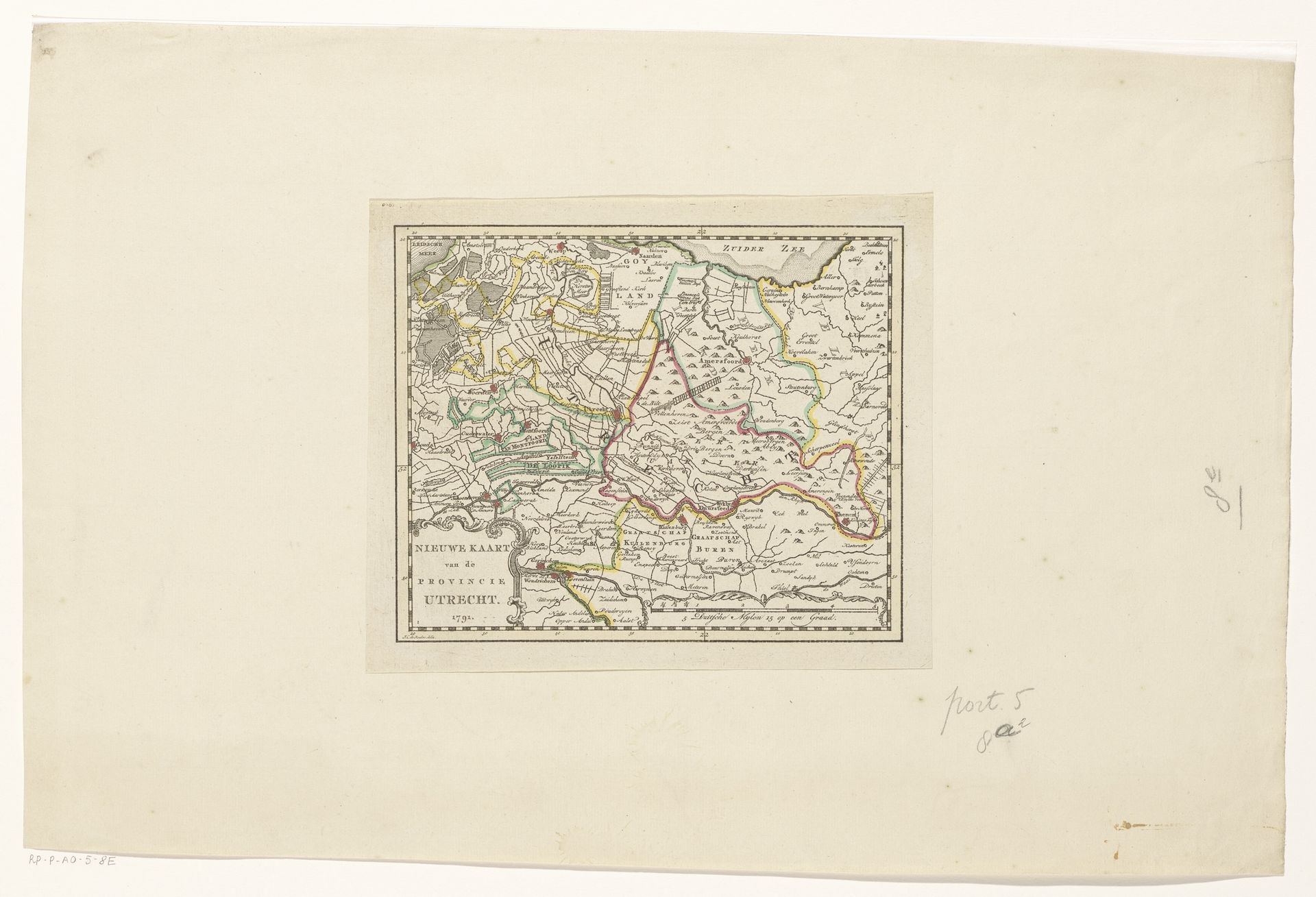
Editor: This is a 1791 print entitled "Kaart van de provincie Utrecht," seemingly a map created through engraving, possibly with watercolour detailing. What strikes me is how it's both a practical document and, in its own way, quite decorative. How would you interpret this work? Curator: As a historian, I immediately think about the context of map-making in the late 18th century. It wasn’t simply about geographical accuracy; it was about power, control, and the projection of authority. Think of who would have commissioned and used a map like this. Landowners? Military strategists? How would this "new" map of Utrecht shape political or social relationships within the province? Editor: That’s a good point! I hadn’t considered the political implications so explicitly. Do you think the style, the, what looks like watercolouring for example, contributes to that sense of authority or something else? Curator: Precisely! The meticulous detail, the decorative flourishes – these elements elevate the map from a mere functional tool to a symbol of sophistication and control. The relatively small scale of it also suggests it was used inside. Can you imagine a scenario of its potential public use at that scale? Who had access? Who would have interpreted it and acted upon that interpretation? Editor: Not really beyond what the landowner might want! Perhaps something akin to propaganda about order? Did mapmakers then think about art and style like that? Curator: Absolutely. Think about the relationship between cartography and other visual arts of the period. Landscape painting was incredibly popular. This map adopts conventions from that genre, presenting a carefully curated view of the land. Consider the role institutions played in defining what constituted “accurate” and “aesthetically pleasing” representations. It prompts interesting questions. Editor: Wow, I never considered maps as a tool of institutional control so explicitly! Seeing it as landscape painting of a sort makes perfect sense now. Curator: Precisely! This allows us to understand its cultural relevance during that era. Seeing it through a cultural and institutional lens makes it even more poignant to study to this day!