print, engraving
#
dutch-golden-age
# print
#
genre-painting
#
history-painting
#
engraving
Dimensions: height 469 mm, width 565 mm
Copyright: Rijks Museum: Open Domain
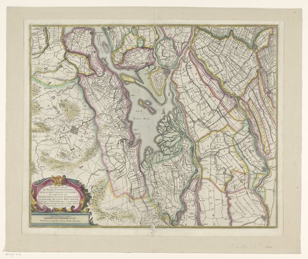
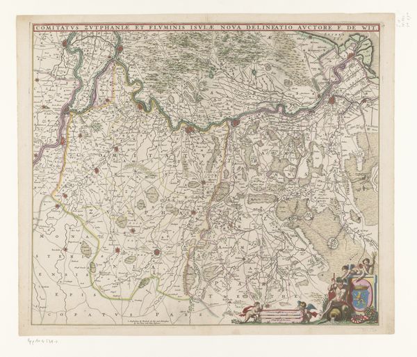
This "Kaart van het graafschap Zutphen," or map of the county of Zutphen, was made anonymously using ink on paper. Look closely, and you can see how the ink's flow and fineness dictate the detail. Thin lines create a comprehensive network of roads and borders. The hand of the cartographer is evident in the script and in the rendering of landscape features. This map would have required immense labor, and it is tempting to consider this work as a commodity of sorts. The social significance of this work lies in its function as a tool for governance and commerce, a visual representation of land ownership. The act of mapping itself has a profound impact on the territory it represents. The map makes concrete the notion of property and the drawing of borders – political gestures, expressed through line and ink. Ultimately, this map isn’t just a document; it’s an assertion of control and knowledge, carefully crafted to project power.
Comments
No comments
Be the first to comment and join the conversation on the ultimate creative platform.
More like this