print, engraving
#
baroque
#
dutch-golden-age
# print
#
cityscape
#
engraving
Dimensions: height 380 mm, width 481 mm
Copyright: Rijks Museum: Open Domain
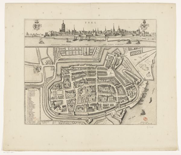
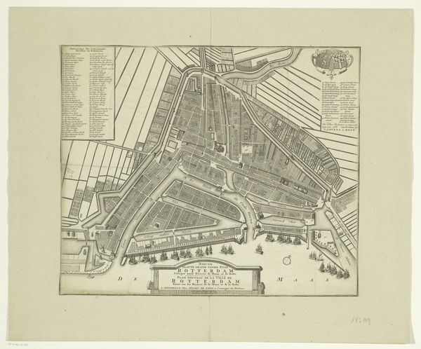
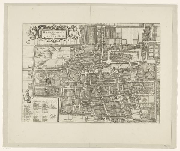
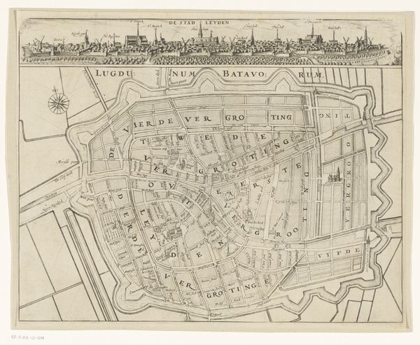
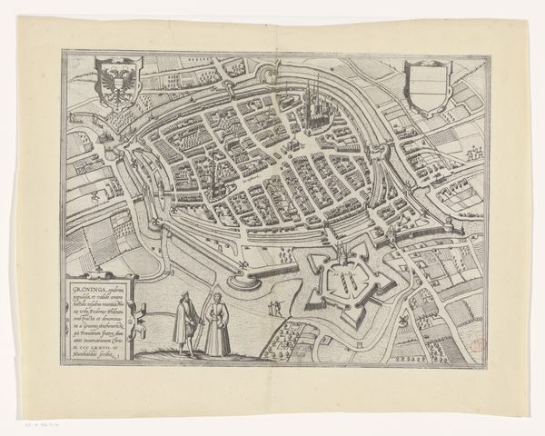
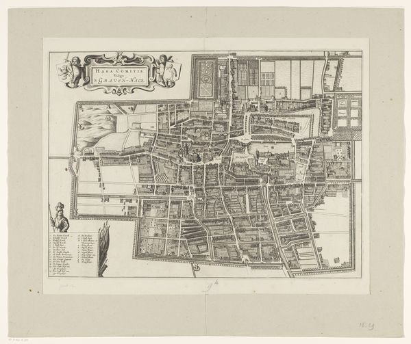
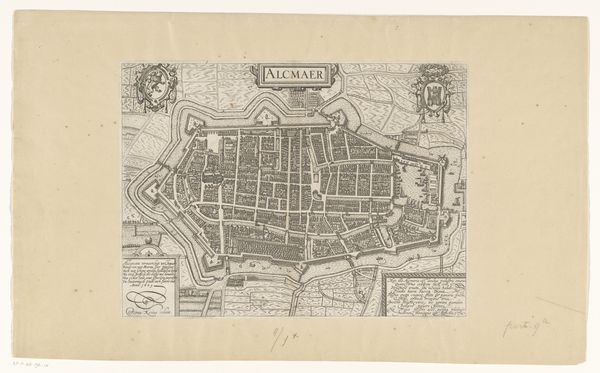
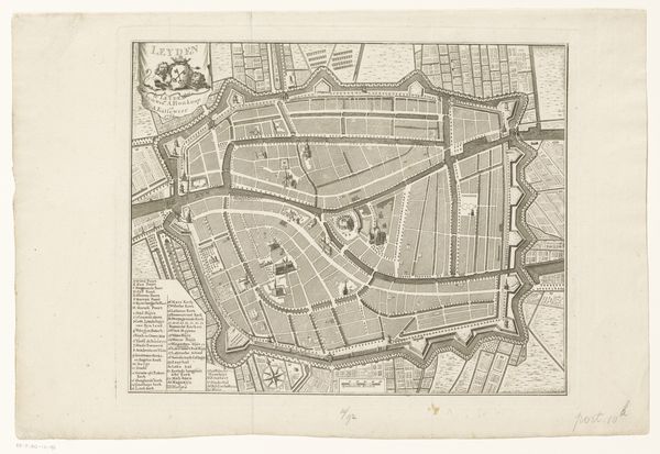
This is an anonymous map of Purmerend, made at an unknown date with etching. As a social historian, I’m intrigued by what this map tells us about the Netherlands and the people who lived there. Looking at this detailed plan, we see a structured, organized community, literally defined by its borders. These maps served multiple purposes. On one hand, they were a source of civic pride, demonstrating the scale and importance of a town. On the other hand, they had a practical purpose for trade and governance. The map includes coats of arms, adding prestige and associating the town with noble families. Features like churches, markets, and defensive structures are prominent, reflecting the social and economic priorities of the time. You’ll notice the rigid fortifications. These were an essential feature for Dutch cities that needed to defend themselves against invasion, reflecting a period of frequent conflicts and wars. To truly understand this map, we’d delve into archives, local histories, and other period documents. This can illuminate the social fabric of the time and help us appreciate the complex forces that shaped people's lives.
Comments
No comments
Be the first to comment and join the conversation on the ultimate creative platform.
More like this