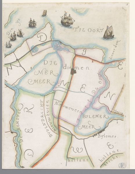
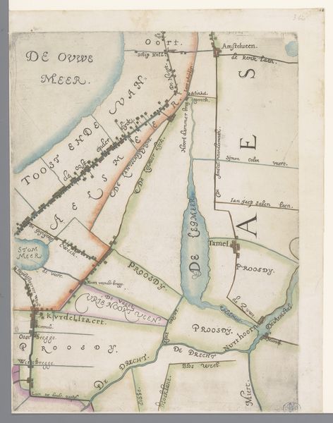
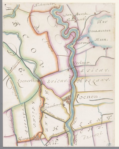
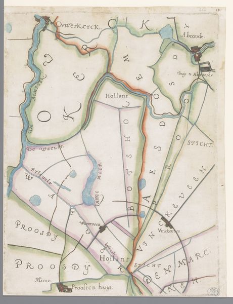
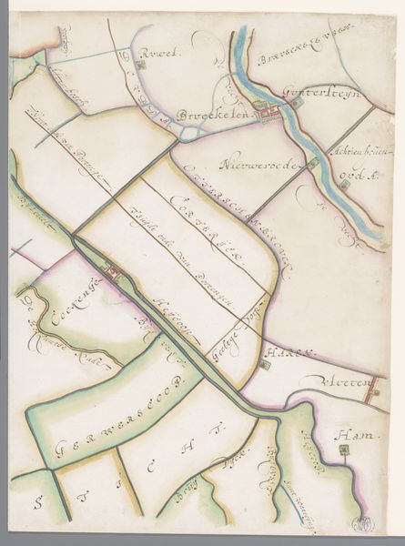
Deel van een kaart van het Hoogheemraadschap van Rijnland, met Weesp en Muiden 1615
0:00
0:00
florisbalthasarszvanberckenrode
Rijksmuseum
drawing, watercolor
#
drawing
#
dutch-golden-age
#
landscape
#
perspective
#
watercolor
#
cityscape
#
watercolor
Dimensions: height 363 mm, width 282 mm
Copyright: Rijks Museum: Open Domain
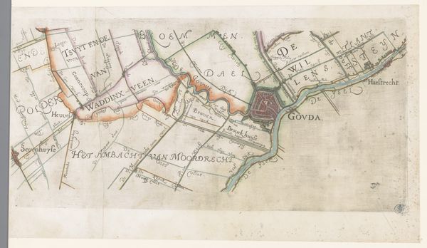
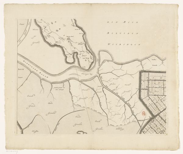
This map of the Rijnland region, including Weesp and Muiden, was made by Floris Balthasarsz van Berckenrode around the turn of the 17th century. It gives us insights into the social, economic, and political landscape of the Netherlands during the Dutch Golden Age. The map is not just a geographical tool, it’s a visual document deeply embedded in the institutional history of water management. The Hoogheemraadschap van Rijnland, or High Water Board of Rijnland, was a powerful organization responsible for land drainage, flood control, and maintaining waterways. Maps like these were crucial instruments for asserting control over the territory. By charting the waterways and demarcating administrative boundaries, the map reflects the dynamic interplay between human intervention and the natural environment. These maps, therefore, are invaluable resources for understanding the complex relationship between society, space, and power.
Comments
No comments
Be the first to comment and join the conversation on the ultimate creative platform.
More like this