About this artwork
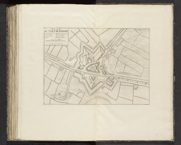
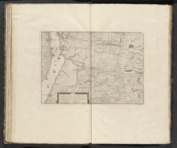
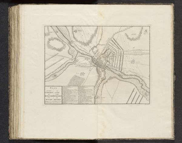
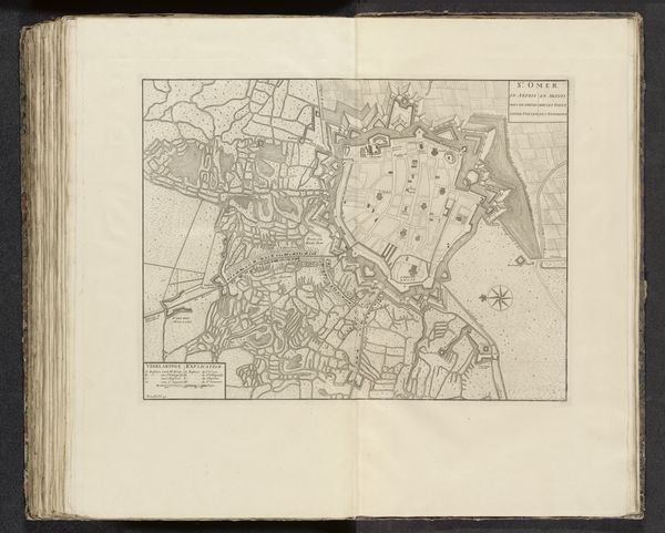
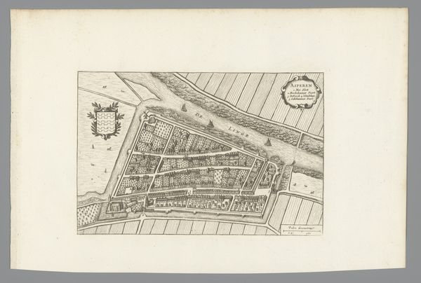
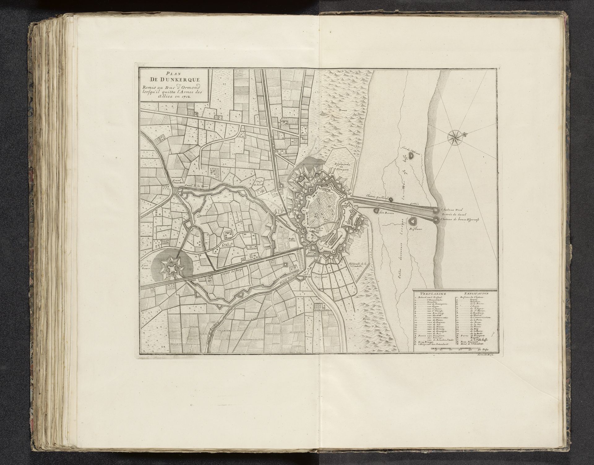
This is a 1712 map of Dunkirk, carefully etched onto paper by an anonymous artist. The act of etching—carefully incising lines into a metal plate, inking it, and then pressing it onto paper—was a skilled craft. The precision required highlights the importance of accuracy in cartography during a time of territorial disputes and burgeoning trade routes. The map’s monochrome palette focuses attention on the detailed linework. Notice how the dense, tight lines render fortified city walls and urban blocks, and how the lighter, more open marks define agricultural landscapes and waterways. This wasn't just a means of representation; it was a vital tool for governance, military strategy, and commercial expansion. The labor-intensive process reflects a society placing high value on geographic knowledge.
Artwork details
- Medium
- drawing, print, paper, ink, engraving
- Dimensions
- height 384 mm, width 470 mm
- Location
- Rijksmuseum
- Copyright
- Rijks Museum: Open Domain
Tags
Comments
Share your thoughts
About this artwork
This is a 1712 map of Dunkirk, carefully etched onto paper by an anonymous artist. The act of etching—carefully incising lines into a metal plate, inking it, and then pressing it onto paper—was a skilled craft. The precision required highlights the importance of accuracy in cartography during a time of territorial disputes and burgeoning trade routes. The map’s monochrome palette focuses attention on the detailed linework. Notice how the dense, tight lines render fortified city walls and urban blocks, and how the lighter, more open marks define agricultural landscapes and waterways. This wasn't just a means of representation; it was a vital tool for governance, military strategy, and commercial expansion. The labor-intensive process reflects a society placing high value on geographic knowledge.
Comments
Share your thoughts