drawing, print, ink, engraving
#
drawing
#
aged paper
#
toned paper
#
baroque
# print
#
pen sketch
#
sketch book
#
personal sketchbook
#
ink
#
pen-ink sketch
#
pen work
#
sketchbook drawing
#
cityscape
#
storyboard and sketchbook work
#
sketchbook art
#
engraving
Dimensions: height 375 mm, width 485 mm
Copyright: Rijks Museum: Open Domain
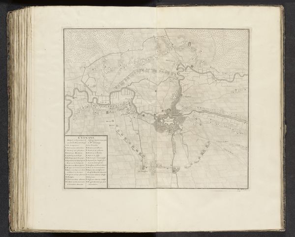
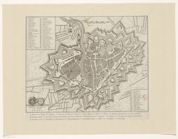
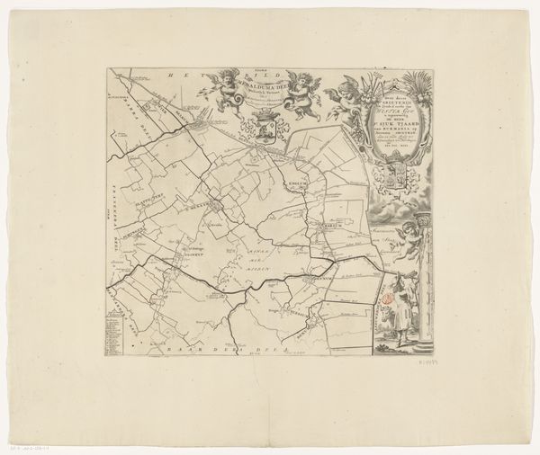
This is an anonymous plan of Saint-Omer, made in 1711, a city viewed through the lens of military strategy. Note the star-shaped bastions. These fortifications, elaborate expressions of power, echo in earlier Renaissance cityscapes and even in ancient diagrams of ideal cities. This is no mere map; it is a psychological assertion of dominance, control. This recalls the ‘Ur-motif’ of enclosure, from sacred groves to walled cities, each echoing humanity's primal need for safety and order. The fortifications are rendered with an almost obsessive precision, reflecting deeper anxieties about vulnerability. This fear, etched into the city's very design, suggests the unconscious forces shaping our world. The star shape is not new, but its purpose and the collective psyche it represents have shifted over centuries. The cyclical nature of symbols, reinvented in new contexts.
Comments
No comments
Be the first to comment and join the conversation on the ultimate creative platform.
More like this