1702 - 1703
Plattegrond van Fuenterrabía, ca. 1702
Anonymous
@anonymousLocation
RijksmuseumListen to curator's interpretation
Curatorial notes
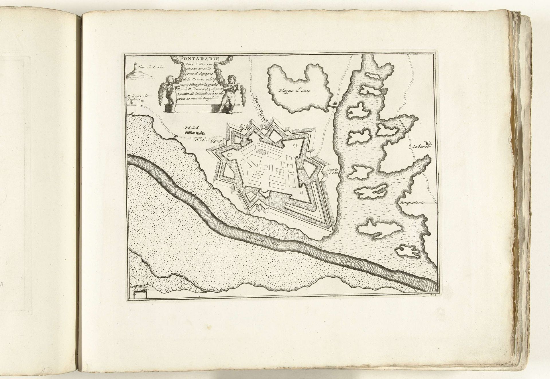
This is an anonymous print from around 1702, showing a plan of the fortified town of Fuenterrabía. Military maps like this one were not just about geography; they were powerful tools in shaping political and military strategies. Made during a time of frequent conflicts, such as the War of the Spanish Succession, this map reflects the intense geopolitical competition among European powers. Note the star-shaped design of the fortifications. This was a cutting-edge military design in the 18th century, intended to provide multiple fields of fire and resist cannon attacks. Consider how such a design would affect the urban life within the city. The map presents a clear visual statement about power, control, and defense. Understanding this print requires us to delve into the military and political history of the period. Resources such as military archives, period documents, and studies of military engineering would help us better understand this map. It offers insights into the complex interplay between art, power, and social life.