1693 - 1696
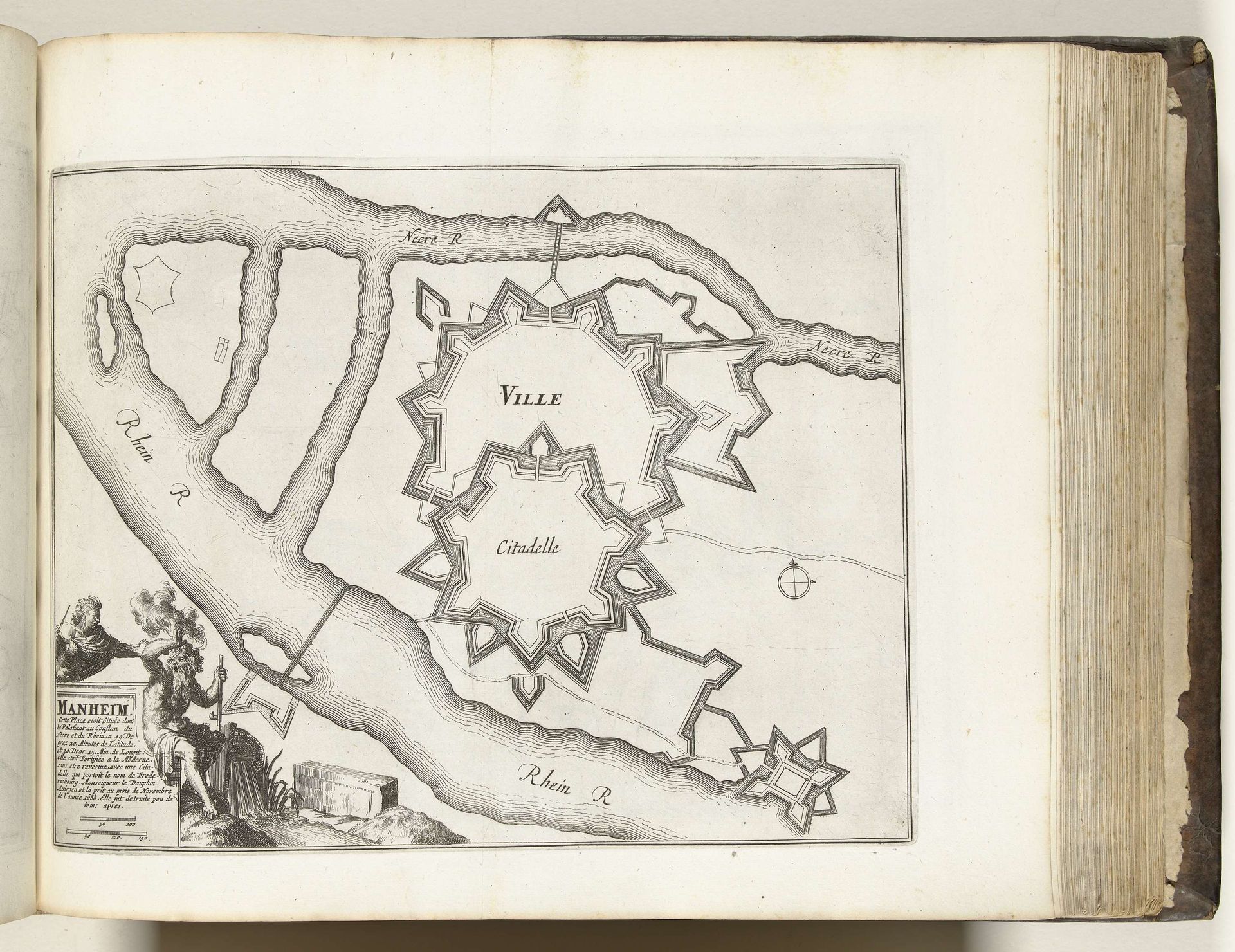
Plattegrond van Mannheim, ca. 1693-1696
Anonymous
@anonymousLocation
RijksmuseumListen to curator's interpretation
Curatorial notes
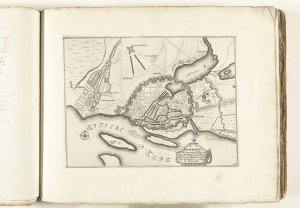
This is a map of Mannheim, made around 1693 to 1696 by an anonymous artist, using etching on paper. Notice how the lines are meticulously etched into the paper, giving it a tactile quality despite being two-dimensional. The etcher would have covered a metal plate with a waxy ground, drawn through it with a needle, and then bathed the plate in acid. This process bites away at the exposed metal, leaving behind the drawn lines. Here, the process becomes the point. The map isn’t just about geography; it’s a testament to human control and the desire to impose order on the world. The star-shaped fortifications speak to a period of intense geopolitical maneuvering, turning cities into strategic assets. This wasn't just about defense; it was about power, labor, and the resources needed to construct and maintain such elaborate systems. Consider the labor involved in creating both the city and this representation of it. The map, with its intricate lines and precise rendering, mirrors the careful planning and construction of Mannheim itself. It reminds us that even seemingly straightforward images are products of complex social and material processes.