drawing, ink
#
drawing
#
baroque
#
pen sketch
#
sketch book
#
hand drawn type
#
personal sketchbook
#
ink
#
sketchwork
#
ink drawing experimentation
#
pen-ink sketch
#
pen work
#
sketchbook drawing
#
cityscape
#
history-painting
#
sketchbook art
Dimensions: height 213 mm, width 282 mm
Copyright: Rijks Museum: Open Domain
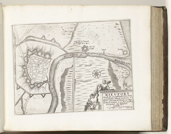
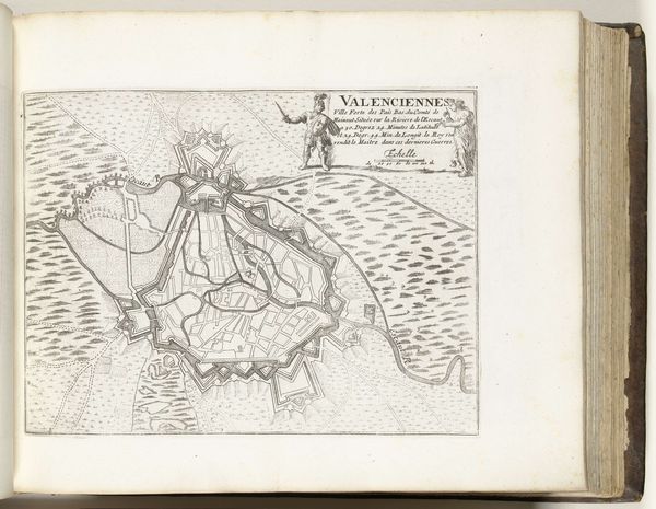
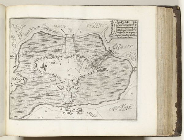
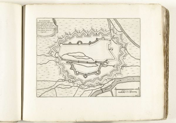
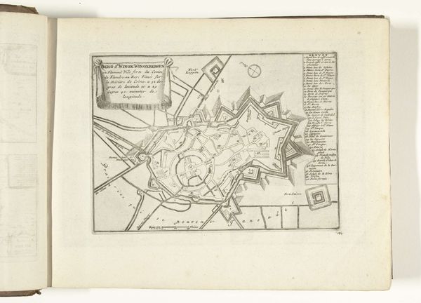
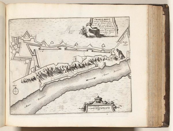
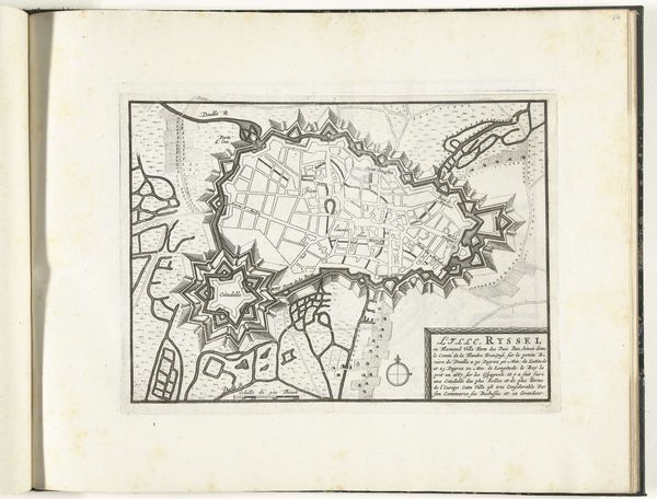
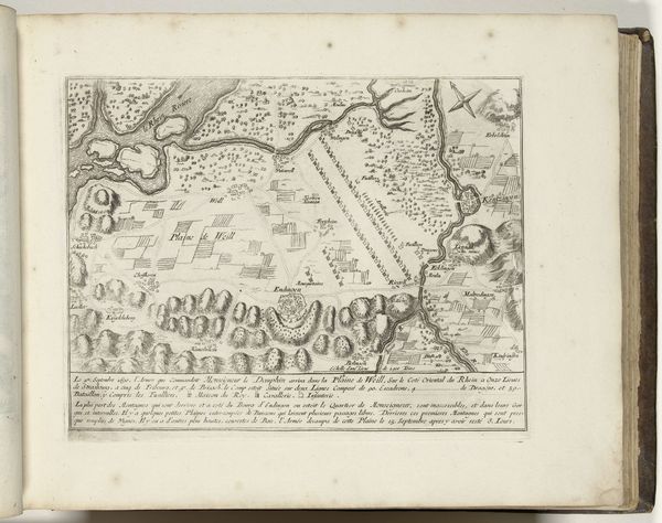
This is an anonymous print titled "Plattegrond van Tournai," made around 1695, showing a plan of the city of Tournai. As a visual document, the map provides insights into the political and military strategies of the late 17th century. The star-shaped fortifications are indicative of a period marked by frequent conflicts and sieges. Tournai, located in a contested region, had strategic importance. The map illustrates a city designed as much for defense as for civilian life. The detailed rendering of the city's layout gives us a sense of the urban experience of its inhabitants, navigating life within these militarized boundaries. Maps such as this one served to reinforce a sense of power and control. By meticulously mapping territory, the rulers could assert and maintain their authority, turning the lived reality of a city into an exercise of strategic calculation. Consider the human scale involved, the personal stories interwoven with these grand strategic designs. The "Plattegrond van Tournai" invites reflection on the relationship between power, space, and the individual experience.
Comments
No comments
Be the first to comment and join the conversation on the ultimate creative platform.
More like this