drawing, ink
#
drawing
#
ink
#
geometric
#
cityscape
#
history-painting
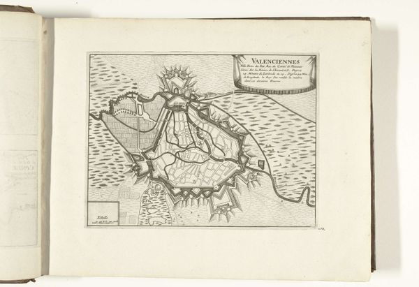
Dimensions: height 212 mm, width 280 mm
Copyright: Rijks Museum: Open Domain
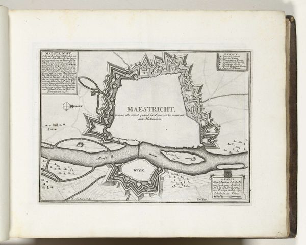
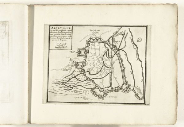
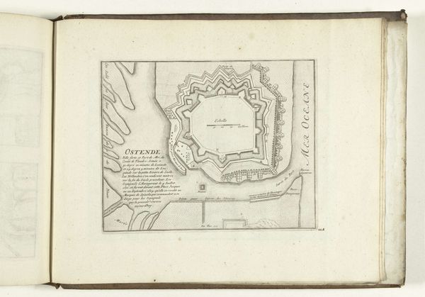
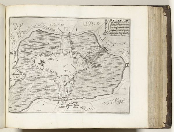
This is an anonymous map of Valenciennes, dating to around 1695, made using printmaking techniques. The method used was likely etching or engraving. This would have involved painstakingly incising lines into a metal plate, inking the surface, and then using a press to transfer the image onto paper. The resulting print shows a bird's-eye view of the fortified city, with careful attention to its defensive structures. You can see the moats, walls, and bastions encircling the town. The map isn't just a technical drawing. It's a representation of power and control. The very act of mapping was a way to assert dominance over territory. The process of creating such a detailed print was labor-intensive, requiring the skilled hand of a draftsman and a printer. This reflects the economic and social structures of the time, where skilled artisans played a crucial role in producing objects for military and political purposes. Considering the materials, making, and context helps us understand the full meaning of this seemingly straightforward map.
Comments
No comments
Be the first to comment and join the conversation on the ultimate creative platform.
More like this