About this artwork
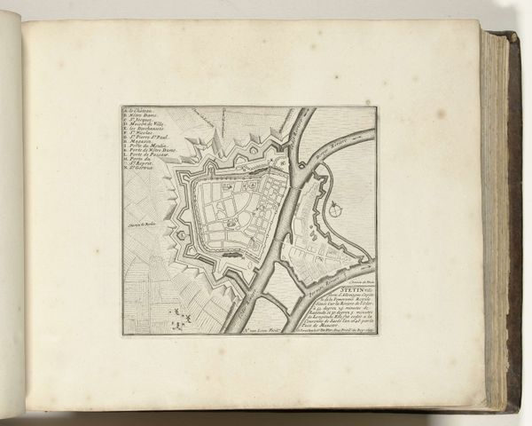
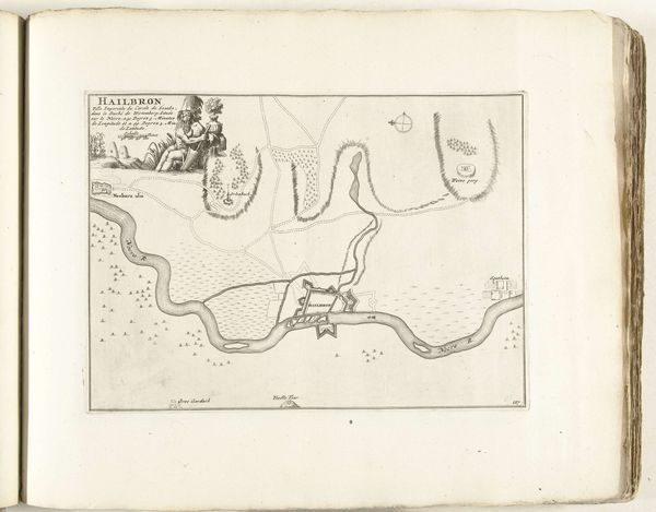
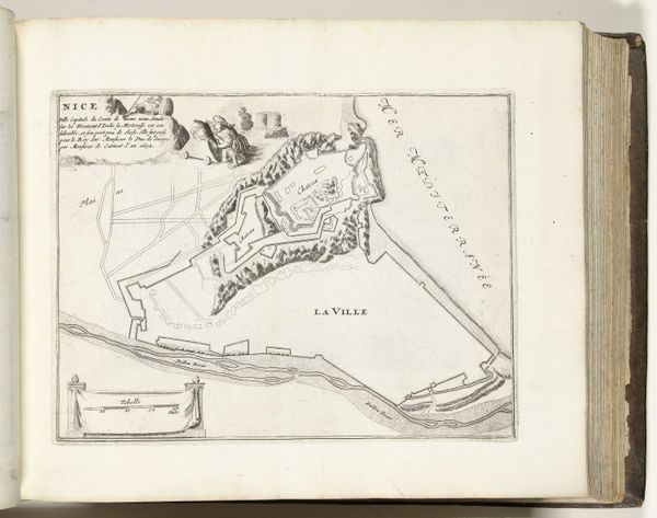
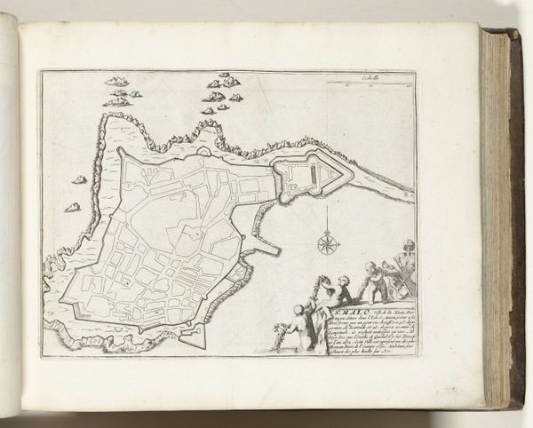
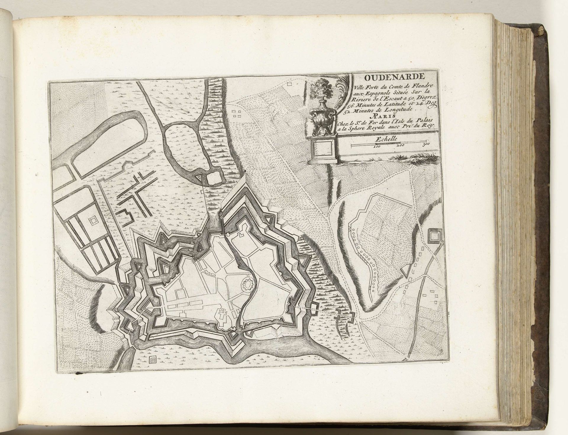
This is a map of Oudenaarde, in present-day Belgium, made around 1695 by an anonymous artist. It is an etching, a printmaking technique that uses acid to create lines in a metal plate. Oudenaarde was a strategically important city, and this map emphasizes its fortifications. The star-shaped walls and moats were designed to defend against cannon fire, reflecting the period's military engineering. But, more than just geography, this image is a statement of power. Maps like these were tools of governance and control, projecting an image of order and authority. This particular example, made in Paris, underscores the central role of the French monarchy under Louis XIV in the conflicts in the Low Countries at this time. To fully understand this map, we need to consider the social conditions that shaped its production and reception. Researching military history, cartography, and the politics of the period will reveal more about its meaning and significance.
Artwork details
- Medium
- drawing, ink, pen
- Dimensions
- height 211 mm, width 282 mm
- Location
- Rijksmuseum
- Copyright
- Rijks Museum: Open Domain
Tags
drawing
aged paper
toned paper
baroque
pen sketch
sketch book
landscape
personal sketchbook
ink
sketchwork
pen-ink sketch
pen work
sketchbook drawing
pen
sketchbook art
Comments
No comments
About this artwork
This is a map of Oudenaarde, in present-day Belgium, made around 1695 by an anonymous artist. It is an etching, a printmaking technique that uses acid to create lines in a metal plate. Oudenaarde was a strategically important city, and this map emphasizes its fortifications. The star-shaped walls and moats were designed to defend against cannon fire, reflecting the period's military engineering. But, more than just geography, this image is a statement of power. Maps like these were tools of governance and control, projecting an image of order and authority. This particular example, made in Paris, underscores the central role of the French monarchy under Louis XIV in the conflicts in the Low Countries at this time. To fully understand this map, we need to consider the social conditions that shaped its production and reception. Researching military history, cartography, and the politics of the period will reveal more about its meaning and significance.
Comments
No comments