drawing, print, ink, engraving
#
drawing
#
baroque
#
pen drawing
# print
#
ink
#
cityscape
#
engraving
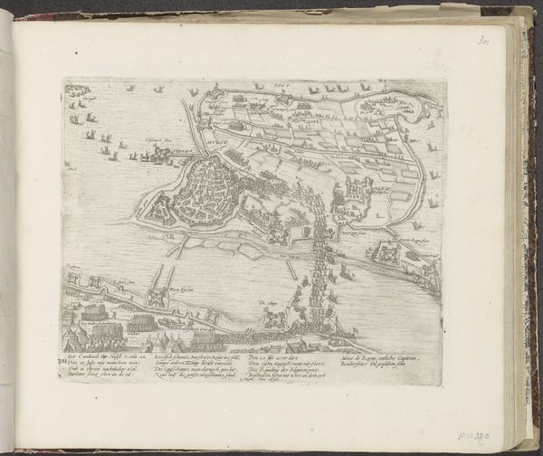
Dimensions: height 462 mm, width 590 mm
Copyright: Rijks Museum: Open Domain
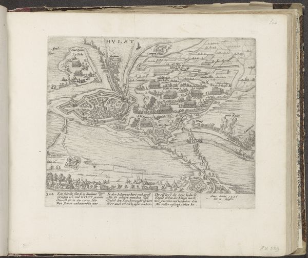
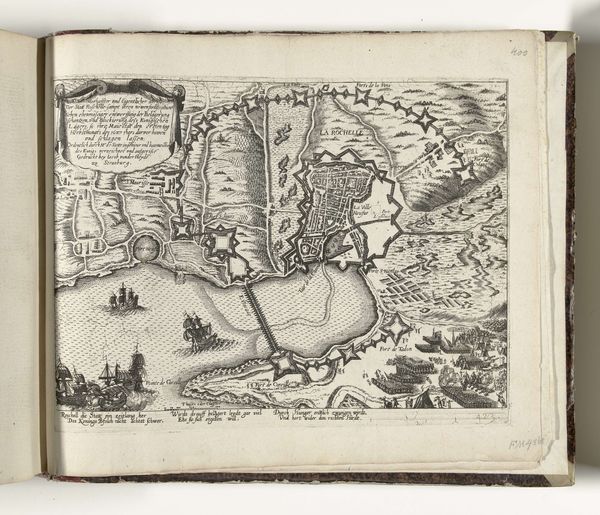
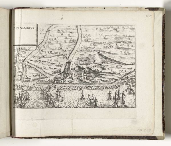
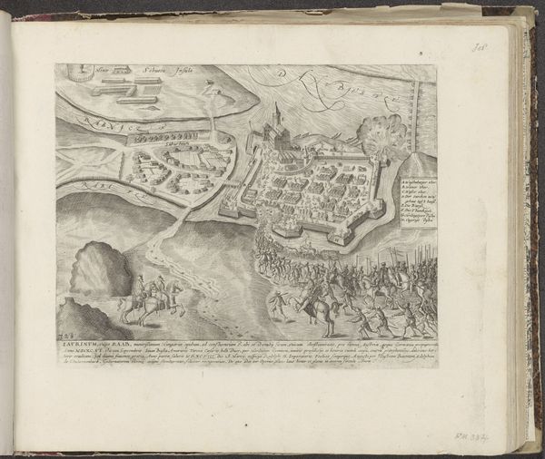
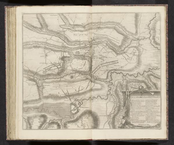
This is an anonymous map of Cuneo, made in 1691, on display at the Rijksmuseum. Maps like this one were of incredible political importance in the 17th century, during times of conflict and power struggles. Beyond simply showing a place, maps were tools of control, defining territories and legitimizing claims of ownership. Consider how the rigid lines of the city’s fortifications contrast with the meandering rivers and fields. What can this contrast tell us about the relationship between civilization and nature? What story does this tell about the control of the land and the people who live on it? As you look closer, consider the implications of this representation and how it reflects the social, political, and cultural values of its time. This map of Cuneo invites us to reflect on the historical dimensions of power, place, and identity. It asks us to consider the human impact on the landscape and the ways in which our understanding of space is inherently intertwined with issues of control and belonging.
Comments
No comments
Be the first to comment and join the conversation on the ultimate creative platform.
More like this