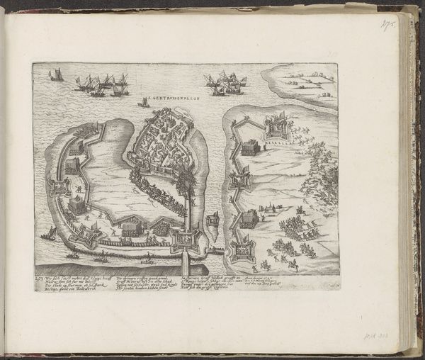
print, engraving
cityscape
engraving
Dimensions: height 246 mm, width 322 mm
Copyright: Rijks Museum: Open Domain
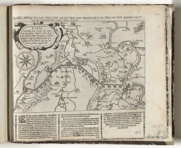
Editor: Here we have a print entitled "Plan van La Rochelle en omgeving, 1627" from around 1627-1629, attributed to Frans Hogenberg and held at the Rijksmuseum. It's a fascinating engraving. It gives off such a sense of contained tension, with the walled city and encircling fortifications. What catches your eye in terms of its visual structure? Curator: It's indeed compelling. The formal qualities immediately suggest the concerns of the engraver. Note the deliberate geometricity; the radial symmetry of the fortifications, how they stand against the natural undulation of the terrain. Observe, also, the careful rendering of line weight. Do you see how varied widths are deployed to create depth and shadow, particularly within the city itself? Editor: Yes, the line work is incredibly detailed. It seems like he really wanted to define those structures, and make sure we recognize La Rochelle as its own, confined shape, encircled by walls. The ships seem poised, too. Curator: Precisely. The balance between detail and abstraction serves to emphasize the relationship of the built and unbuilt environment. This deliberate tension reflects the contemporary understanding of man's interaction with nature through strategic interventions in the landscape. Hogenberg employs line, form, and the calculated distribution of space to illustrate the push and pull of power and geographic constraint. What kind of rhythm can you feel across its forms? Editor: Hmm, well the rhythm feels a bit halted; the barricades feel intentionally disrupting. This reminds me of mapping, and what cartographers prioritize, when creating a sense of political or spatial boundaries. Curator: Exactly! The work emphasizes a kind of objective record of a historically fraught space. Did you also consider the use of perspective? It's a high, almost god-like viewpoint, isn't it? This enhances our understanding by offering comprehensive visual data on geographic realities and human impositions. Editor: I hadn't thought of it like that, seeing the viewpoint as a kind of visual fact. Curator: Indeed. And that’s why engaging with its formal architecture opens pathways to comprehend its intended functions as more than simply illustrative. Thank you.
Comments
No comments
Be the first to comment and join the conversation on the ultimate creative platform.