About this artwork
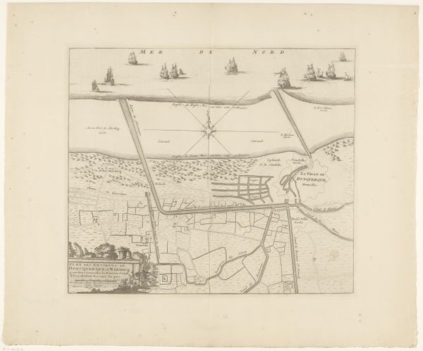
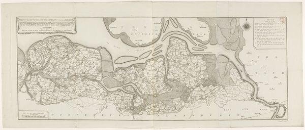
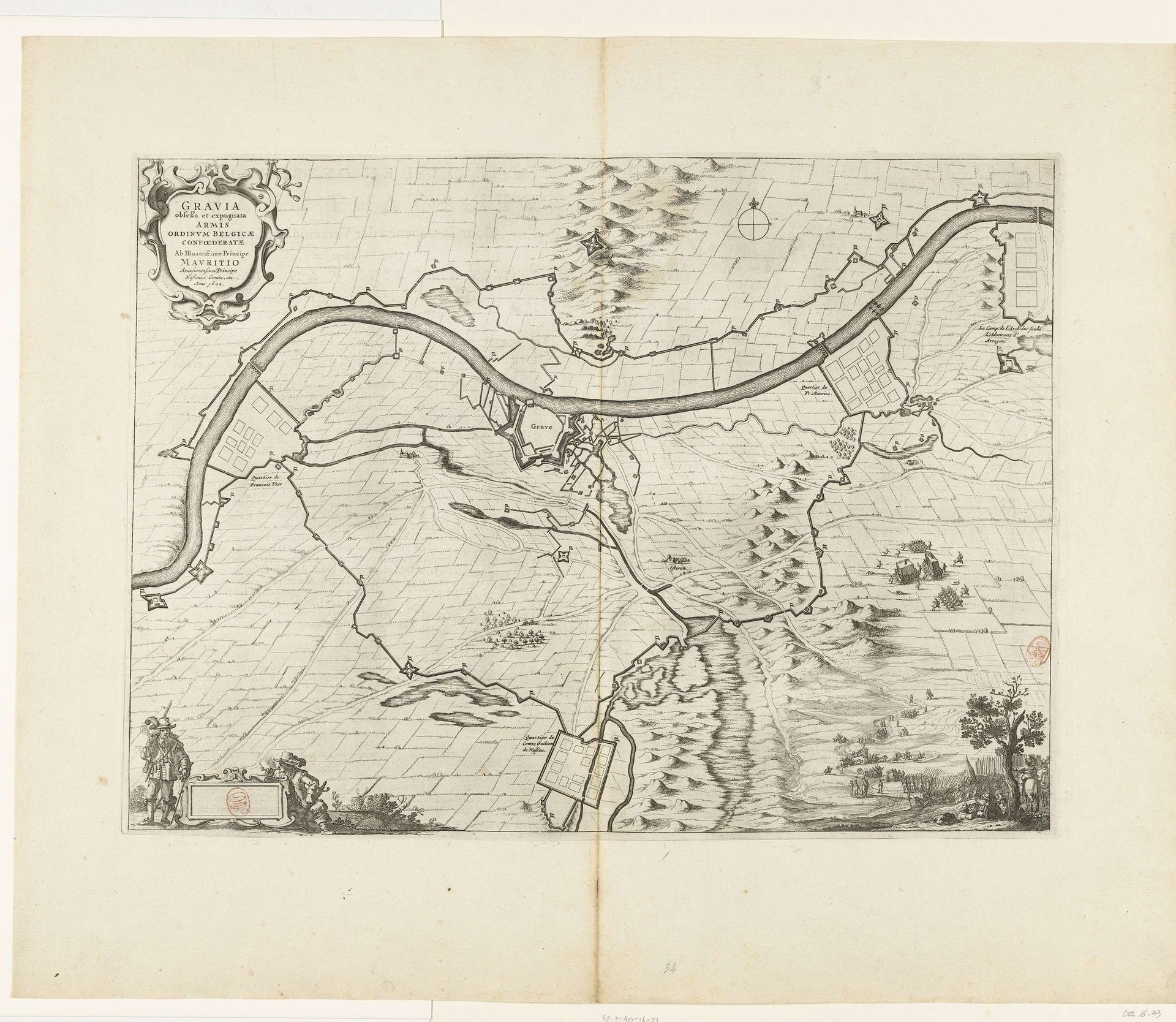
This map, made in 1602 by an anonymous artist, depicts the siege and capture of Grave by Maurice of Nassau. Produced during the Eighty Years' War, this print shows not just geographical features but also the military strategies employed. The detailed rendering of fortifications, troop placements, and siege lines reflects the growing importance of military engineering and cartography in early modern warfare. This image also serves as propaganda, celebrating the military prowess of the Dutch Republic and its leader, Maurice. Such maps were crucial in shaping public perception and national identity. By examining archival sources, military treatises, and period accounts, we can better understand the social and political context in which images like these were created and consumed. In doing so, we recognize that this is more than a record; it's an active participant in shaping its culture.
Beleg en inname van Grave door Maurits, 1602
1647 - 1649
Anonymous
@anonymousLocation
RijksmuseumArtwork details
- Medium
- drawing, paper, ink, engraving
- Dimensions
- height 548 mm, width 665 mm
- Location
- Rijksmuseum
- Copyright
- Rijks Museum: Open Domain
Tags
Comments
Share your thoughts
About this artwork
This map, made in 1602 by an anonymous artist, depicts the siege and capture of Grave by Maurice of Nassau. Produced during the Eighty Years' War, this print shows not just geographical features but also the military strategies employed. The detailed rendering of fortifications, troop placements, and siege lines reflects the growing importance of military engineering and cartography in early modern warfare. This image also serves as propaganda, celebrating the military prowess of the Dutch Republic and its leader, Maurice. Such maps were crucial in shaping public perception and national identity. By examining archival sources, military treatises, and period accounts, we can better understand the social and political context in which images like these were created and consumed. In doing so, we recognize that this is more than a record; it's an active participant in shaping its culture.
Comments
Share your thoughts