drawing, paper, ink
#
drawing
#
baroque
#
paper
#
ink
#
geometric
#
history-painting
Dimensions: height 220 mm, width 295 mm
Copyright: Rijks Museum: Open Domain
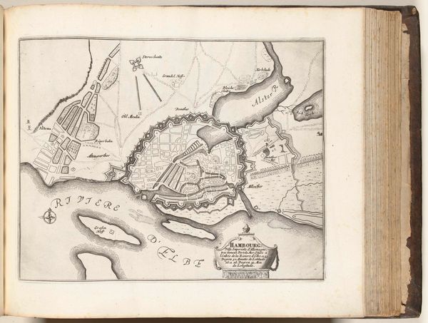
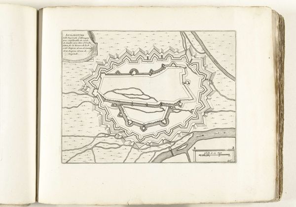
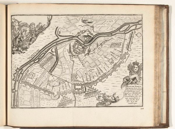
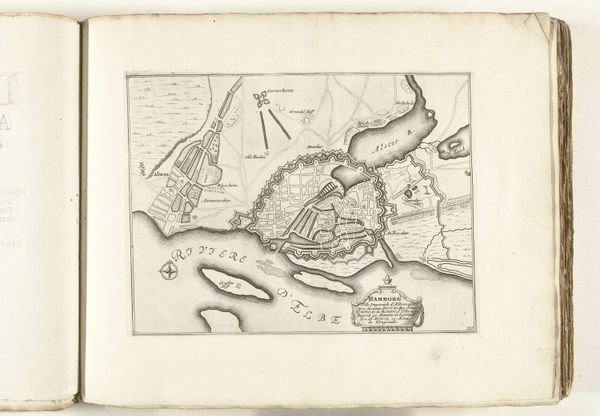
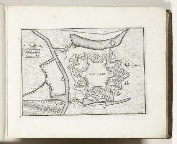
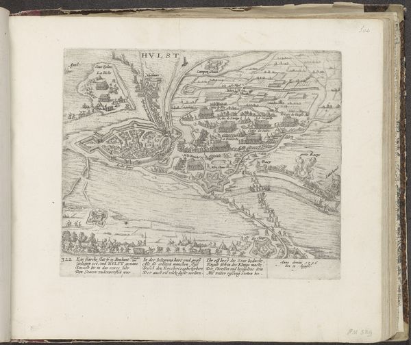
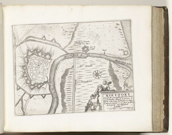
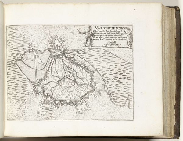
This is a map of Ebrébourg, made around 1702 by an anonymous artist. Its clean lines and precise detail give us insight into the priorities of the period. In the early 18th century, cartography was vital, not just for exploration, but for military strategy and territorial control. Created during a time of European conflict, this map reflects the growing importance of military engineering and the strategic positioning of towns. Note the emphasis on fortifications, reflecting the concerns of the Dutch Republic with defense against potential invaders. The map isn't just a geographical document; it’s a political statement about power, control, and the assertion of sovereignty. By studying such maps, we can understand how land was perceived, controlled, and contested in the past. Examining archival records, military reports, and other historical documents can shed further light on the context in which this map was created and the purposes it served. The meaning of art is always contingent on the social and institutional context.
Comments
No comments
Be the first to comment and join the conversation on the ultimate creative platform.
More like this