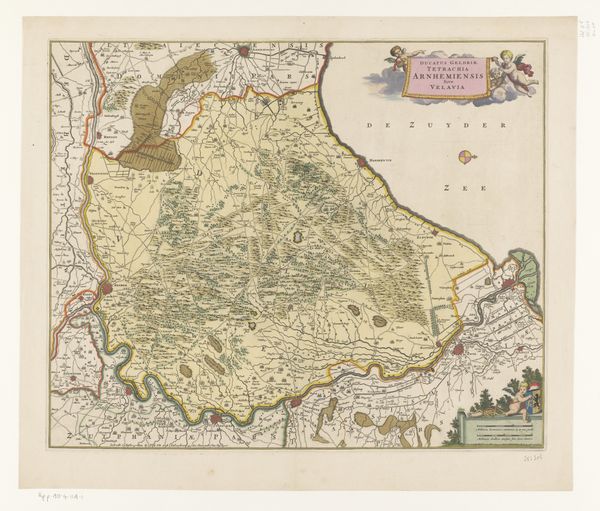
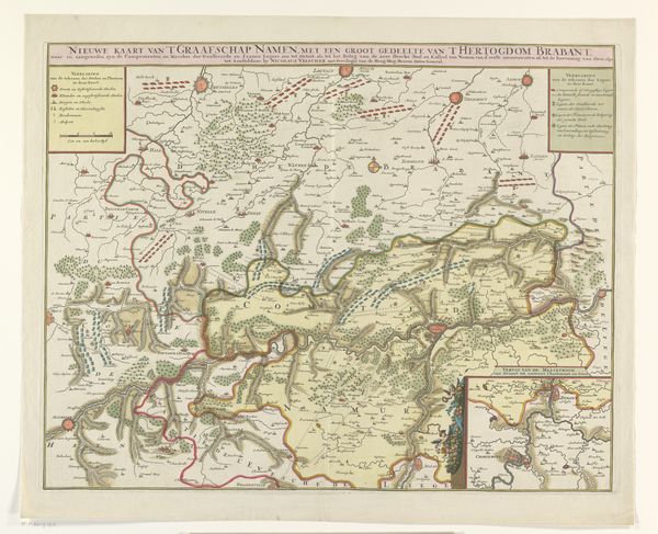
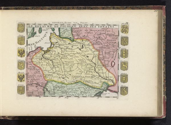
Kaart met de tocht van Maurits door Brabant, 1602 1612 - 1624
0:00
0:00
florisbalthasarszvanberckenrode
Rijksmuseum
drawing, print, paper, ink
#
drawing
#
narrative-art
#
dutch-golden-age
# print
#
landscape
#
paper
#
ink
#
geometric
#
cityscape
Dimensions: height 200 mm, width 312 mm
Copyright: Rijks Museum: Open Domain
Curator: What a wonderfully detailed map! We’re looking at a print called "Kaart met de tocht van Maurits door Brabant, 1602", or “Map of Maurice’s journey through Brabant, 1602”, dating from around 1612-1624, by Floris Balthasarsz van Berckenrode. Editor: Immediately I see…order! Everything is in its place, or rather, where it should be. But the delicate linework gives it a strange sense of movement and exploration. It feels alive despite being a geometric rendering of terrain. Curator: The appeal certainly lies in that combination of precision and narrative. It's a beautiful example of cartography evolving into propaganda, framing Prince Maurice's military campaign during the Eighty Years' War. You see how the composition serves not just to delineate space, but to communicate power. Editor: Propaganda, huh? So this is about showing who's boss through meticulous record-keeping. It is gorgeous—I am so intrigued by all the tiny, meticulously drawn towns and villages along the route. Were maps a flex in those days? Curator: Absolutely. Maps like this weren't just navigational tools, they were assertions of dominion. The symbolic weight is in the visual language: lines defining borders, place names acting as claims. Remember, too, the Golden Age Dutch Republic thrived on trade and territory, so these cartographic representations bolstered national identity. Editor: Like a wearable flag, but, you know, land-based. I can feel the cultural memory clinging to this paper and ink. It makes me want to dig into those little towns...I imagine all the tiny lives playing out in each of them as the Prince's armies trudge through the fields... Curator: A cultural palimpsest, really. Layers of history written onto the land, then transcribed again through the meticulous craft of the cartographer. That is fascinating what you say about individual narratives emerging despite what is inherently an item meant to serve military power… Editor: So, beyond directions and troop movements, there’s also that silent drama that art pulls up from the ground. Well, for me, anyway. What else is particularly amazing or curious from a scholarly point of view? Curator: It is a complex picture where practical function and political agenda meet aesthetic expression. These objects can offer insights into Golden Age political ambitions, artistic conventions and the relationship between power and visual culture in Early Modern Europe. Editor: This trip with this particular map suddenly has me looking through time, beyond just directions.
Comments
No comments
Be the first to comment and join the conversation on the ultimate creative platform.
More like this