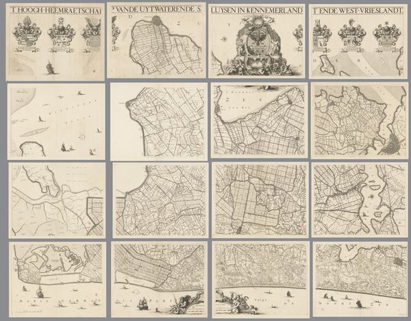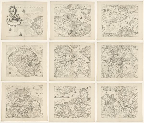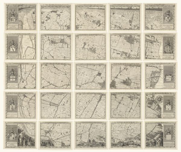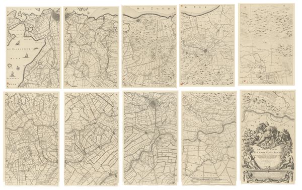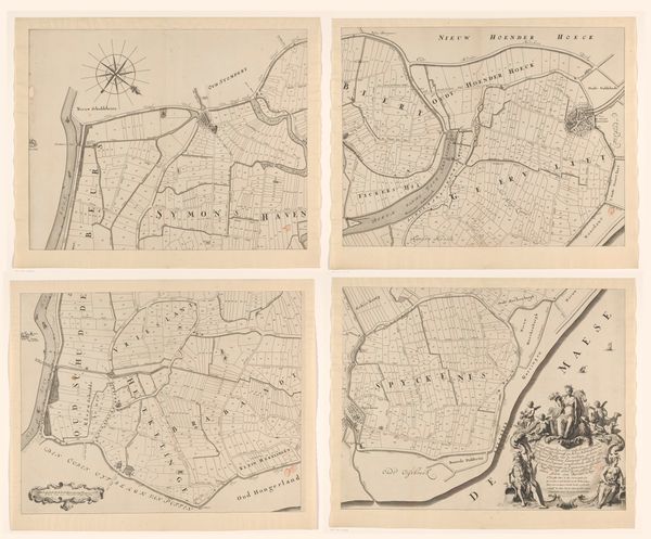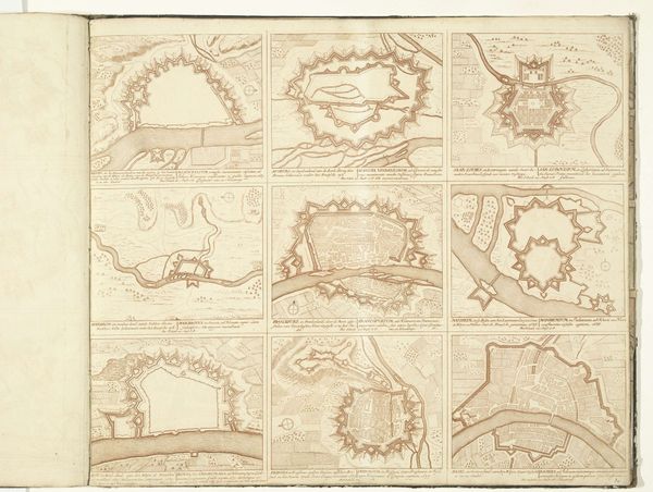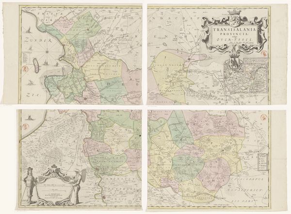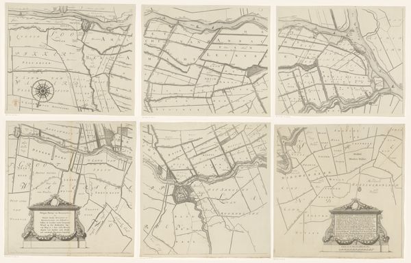
1647 - 1687
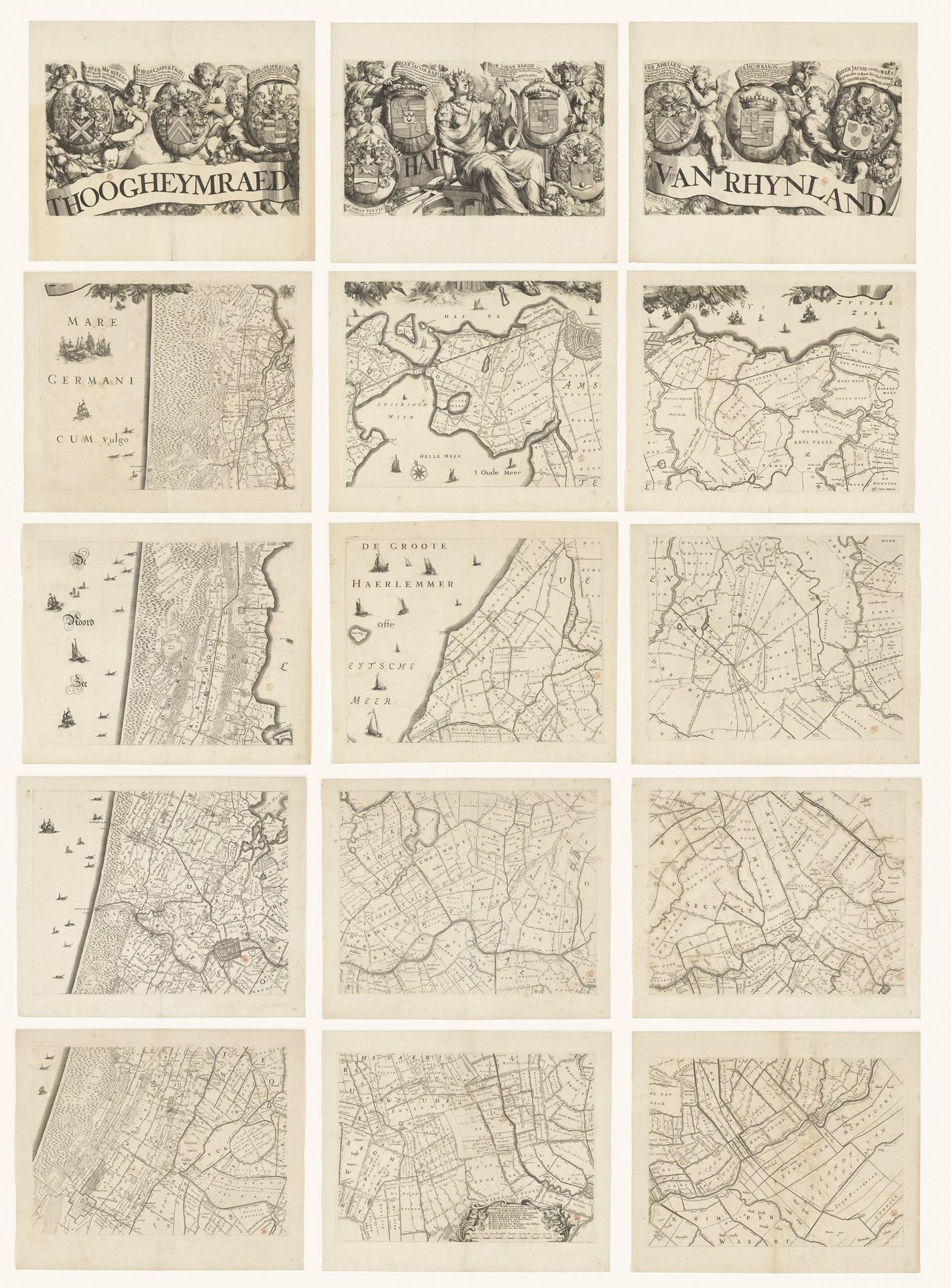
Kaart van het Hoogheemraadschap van Rijnland, bestaande uit vijftien delen
Cornelis (I) Danckerts
1604 - 1656Location
RijksmuseumListen to curator's interpretation
Curatorial notes
This is a large-scale map of the Rijnland region, created by Cornelis Danckerts around the mid-17th century in the Netherlands. It's composed of fifteen separate sheets, each meticulously engraved, and presents a detailed view of the region's waterways, polders, and settlements. The map wasn't just a tool for navigation; it was a statement of power and control. In the Dutch Republic, water management was a collective endeavor, crucial for the survival of the low-lying lands. Institutions such as the Hoogheemraadschap, or high water board, held immense authority. Their governance touched every aspect of life. Danckerts’s map thus embodies the political landscape of the time, where local and regional identities were intertwined with the ongoing battle against the sea. For those interested in exploring the map's historical context further, archives of the water boards, local historical societies, and collections of early modern maps offer a wealth of information. Art is always contingent on social and institutional context.