graphic-art, print, etching
#
graphic-art
#
dutch-golden-age
# print
#
etching
#
landscape
#
etching
Dimensions: height 642 mm, width 532 mm
Copyright: Rijks Museum: Open Domain
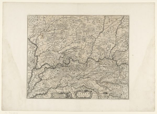
This is Gilliam van der Gouwen's map of the Duchy of Brabant, created around 1740 using etching. During this time, cartography was not just about geography; it was deeply intertwined with power, identity, and colonial ambition. Maps like these played a crucial role in shaping perceptions of land and belonging. This map represents Brabant, a region with a complex history, reflecting both its geographical features and the socio-political landscape of the time. Consider the mapmaker’s perspective: What does it mean to define and delineate a territory? Historically, maps have been instruments of control, used to claim ownership and establish dominance. This map participated in defining cultural and regional identities, influencing how people perceived their place in the world. It invites us to think about the relationship between space and identity and how these representations can reinforce or challenge existing power structures. This piece evokes questions about who gets to draw the lines and whose stories are told or erased in the process.
Comments
No comments
Be the first to comment and join the conversation on the ultimate creative platform.
More like this