1585 - 1595
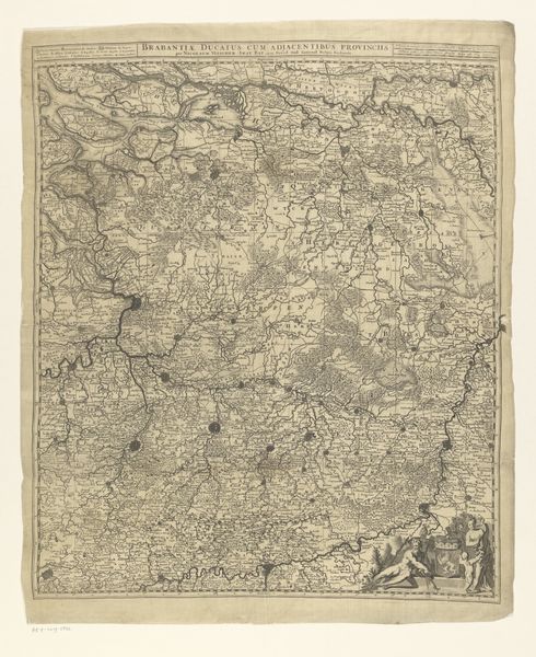
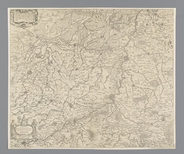
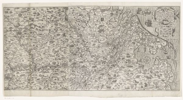
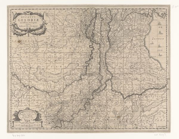
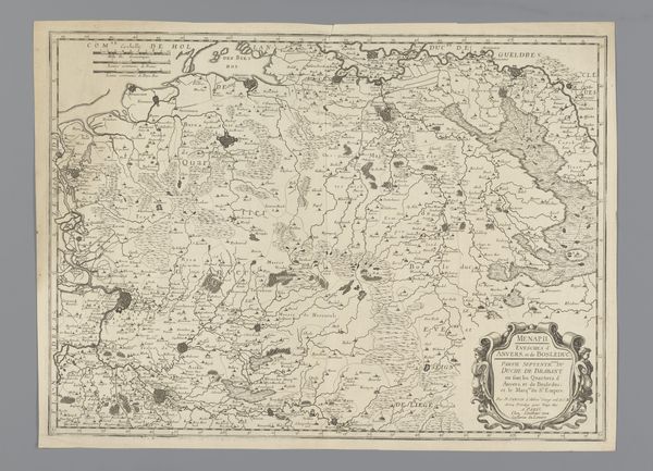
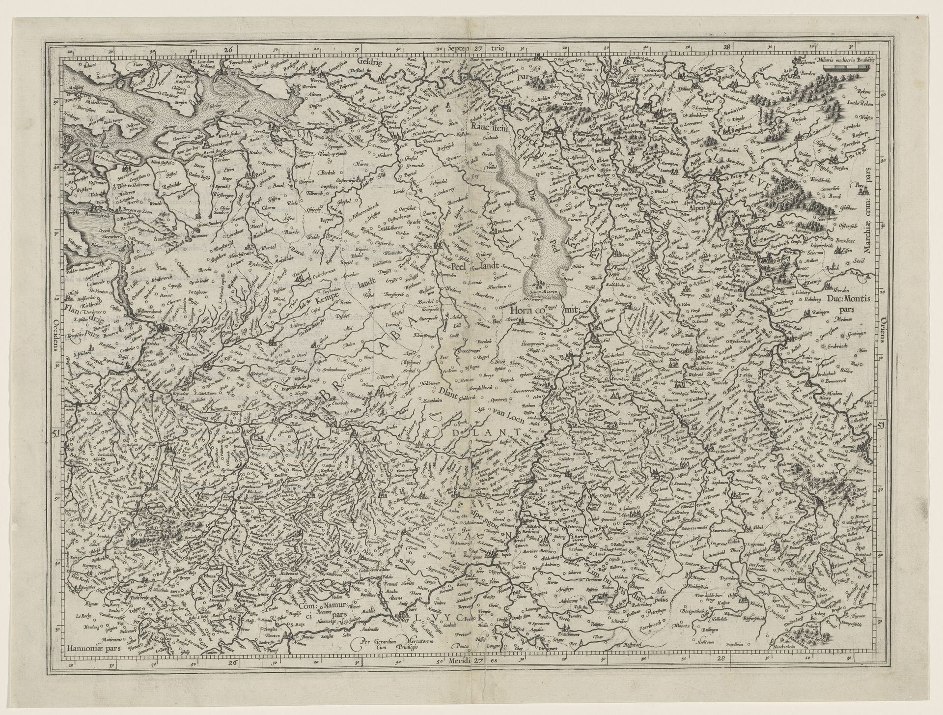
Kaart van de hertogdommen Brabant, Gulik en Kleef
Gerardus Mercator
1512 - 1594Location
RijksmuseumListen to curator's interpretation
Curatorial notes
This is a map of the duchies of Brabant, Gulik, and Kleef, made by Gerardus Mercator. This map is made from an engraving, a process in which a design is incised on a printing plate to then be inked and printed. Look closely, and you'll notice how the density of lines creates a range of tones, describing the lay of the land. Maps like this one were crucial tools in the early modern period. As states grew in power, accurate cartography became essential for administration, military planning, and especially trade. Mercator was one of the leading mapmakers of his day. His work represents a marriage of craft skill, scientific knowledge, and the growing demands of a capitalist world. While the map may seem purely factual, it's important to remember that it's a made thing. The act of engraving, the choice of what to include and exclude, all these decisions shape our understanding of the world.