print, etching, engraving
#
aged paper
# print
#
etching
#
old engraving style
#
hand drawn type
#
etching
#
bold pencil line
#
pen work
#
history-painting
#
engraving
Dimensions: height 700 mm, width 535 mm
Copyright: Rijks Museum: Open Domain
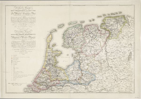
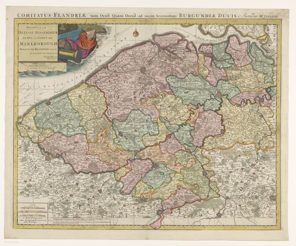
Curator: Here we have "Kaart van de Nederlanden omstreeks de tiende eeuw," or "Map of the Netherlands around the tenth century," an engraving created between 1855 and 1857 by P.J. Fassbender. Editor: It looks like a memory, fading and pieced together from fragmented recollections. The detail is incredible, though, evoking a sense of scholarly dedication. Curator: Absolutely. Fassbender’s map is more than just geography; it is a statement about the constructed nature of national identity, relying on a romanticized view of the past to inform the present. Notice how the regions are delineated not just by borders but by textual annotations. This calls attention to how the narrative and linguistic define geographic spaces. Editor: The prominence of rivers and waterways stands out. They're drawn with such care, almost reverence. Water is life, of course, but in cartography, it often represents connection and passage—trade, cultural exchange, and even invasion. Curator: Indeed. And the scale is interesting, too. By focusing on this specific historical period, the map invites a comparative analysis with the contemporary Netherlands. Questions about shifting borders, cultural exchanges, and the legacy of power dynamics come into play. Who benefits from a particular rendering of history? That is what this piece brings up for me. Editor: Thinking about tenth-century Netherlands, one can't help but imagine the cultural soup of influences, the early formations of language, customs, and social structures represented through the iconography of its layout. This rendering allows me to look at my relationship to Dutch history through symbolic eyes, to find cultural memory. Curator: It also makes me consider how this 19th-century map, created using techniques of engraving and etching, presents a view of the past that reflects the concerns and biases of its own time. This tension makes the map very alive as a document. Editor: Precisely. This blending of artistry, history, and symbolic geography certainly provides fertile ground for reflection. It urges us to consider the Netherlands not only as a place but as a cultural, symbolic idea in flux.
Comments
No comments
Be the first to comment and join the conversation on the ultimate creative platform.
More like this