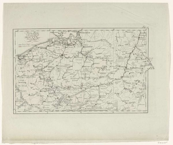
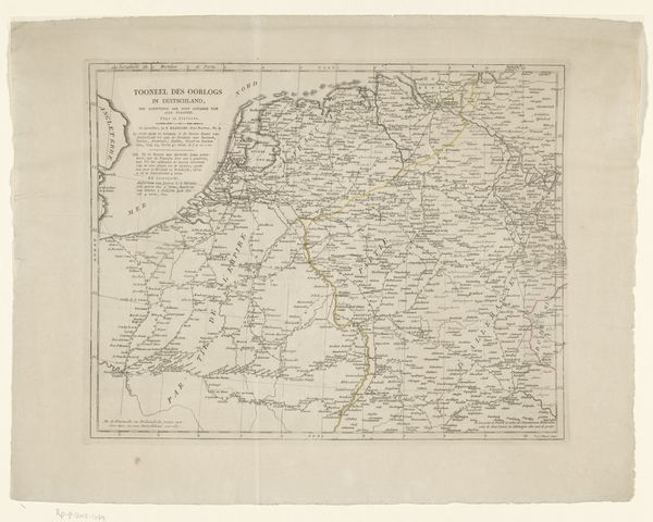
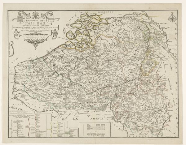
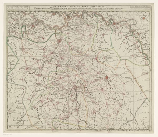
Kaart van de zuidelijke provinciën van het Koninkrijk der Nederlanden en het Hertogdom Luxemburg, 1815 1815
0:00
0:00
johannesfredericuslange
Rijksmuseum
print, engraving
# print
#
geometric
#
engraving
Dimensions: height 223 mm, width 315 mm
Copyright: Rijks Museum: Open Domain
This is Johannes Fredericus Lange’s "Map of the Southern Provinces of the Kingdom of the Netherlands and the Duchy of Luxembourg," created around 1815, a tumultuous time in European history following the Napoleonic Wars. This map isn’t just a geographical document; it's a snapshot of a society in transition, reflecting the shifting identities and power dynamics of the time. The Congress of Vienna in 1815 sought to redraw the map of Europe, and this map illustrates the newly formed United Kingdom of the Netherlands, a political entity designed to serve as a buffer against French expansion. Look closely at the way Lange delineates the territories. Notice how the lines emphasize political divisions. The map highlights an attempt to forge a unified national identity in a region marked by linguistic, cultural, and economic diversity. What does it mean to create a map, to draw lines, and in the process, define who belongs and who does not? This map reminds us that even seemingly objective documents are imbued with the perspectives and power structures of their time.
Comments
No comments
Be the first to comment and join the conversation on the ultimate creative platform.
More like this