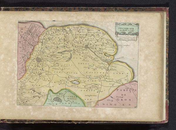
drawing, coloured-pencil, print, paper, ink
#
drawing
#
coloured-pencil
#
baroque
# print
#
landscape
#
paper
#
ink
#
coloured pencil
#
cityscape
#
genre-painting
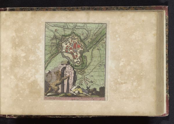
Dimensions: height 162 mm, width 124 mm
Copyright: Rijks Museum: Open Domain
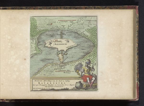
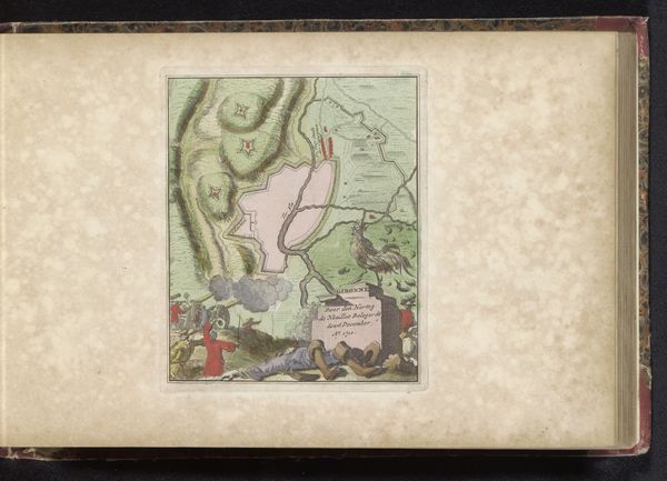
This is an undated, unsigned map of Gent, now in the Rijksmuseum. Maps aren't neutral; they're cultural artifacts reflecting the priorities and perceptions of their creators. This map offers a glimpse into the socio-political landscape of its time. The detailed rendering of Gent, surrounded by fortifications, underscores the city's strategic importance. But who was this map for? Was it used for military planning, or perhaps to instill civic pride? The scenes of leisure, with figures hunting rabbits, presents a complex interplay of power, land use, and class. The map reveals a society that valued control and order, yet also made space for leisure. It's a reminder that every line, color, and symbol tells a story about who we are, who we value, and how we see the world. It leaves us to consider the personal and collective histories that converge in this seemingly simple depiction of a place.
Comments
No comments
Be the first to comment and join the conversation on the ultimate creative platform.
More like this