drawing, print, engraving
#
drawing
#
dutch-golden-age
# print
#
landscape
#
coloured pencil
#
geometric
#
cityscape
#
decorative-art
#
engraving
Dimensions: height 164 mm, width 238 mm
Copyright: Rijks Museum: Open Domain
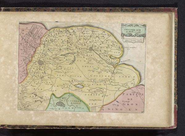
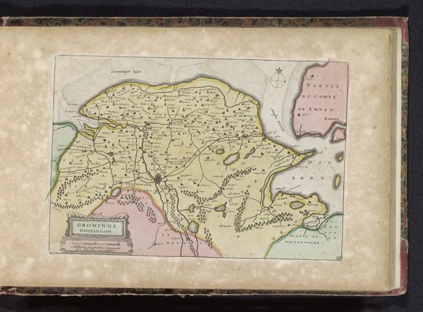
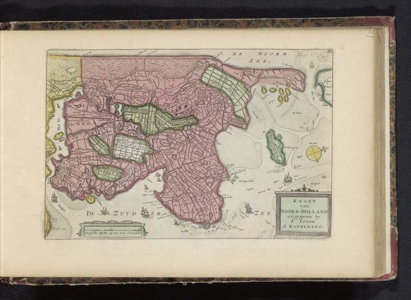
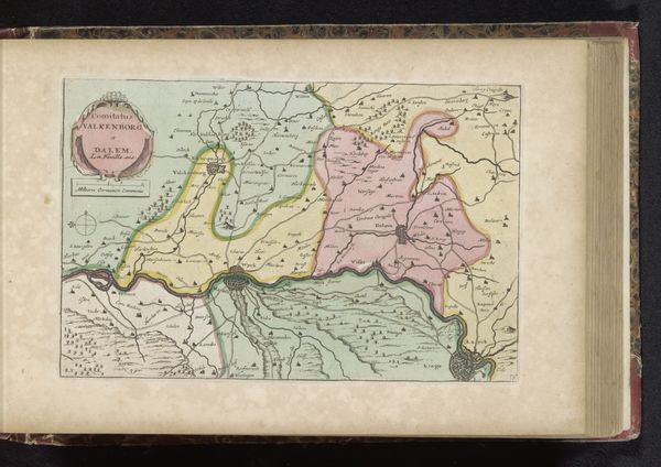
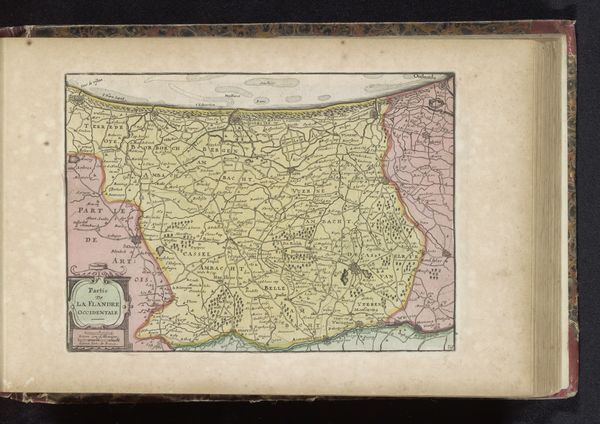
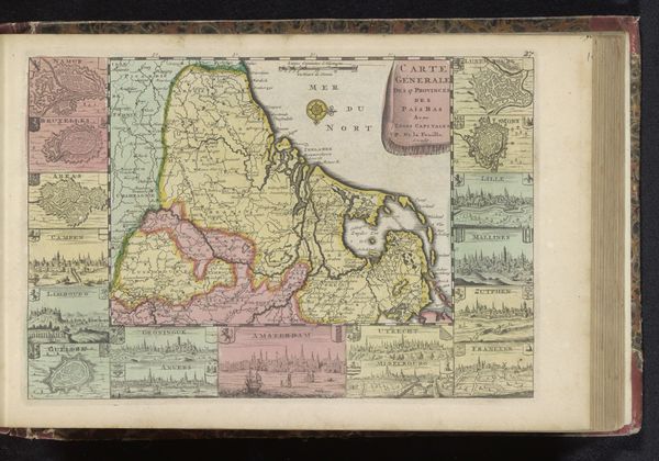
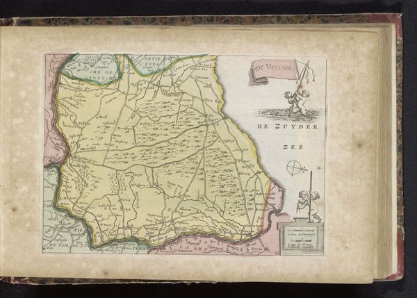
This is 'Kaart van Westergo,' a map by an anonymous artist, rendered with ink and color. The composition presents a bird's-eye view, offering an ordered representation of geographical space. Notice how lines delineate boundaries and pathways, creating a network that structures the landscape into distinct regions. Colors are used to differentiate these areas, yet their soft hues work to harmonize the overall image. This interplay of structure and fluidity destabilizes the conventional notion of a map as a purely objective tool. The map’s visual language—its lines, shapes, and colors—functions as a semiotic system, inviting us to interpret the cultural codes and historical context embedded within it. The formal organization of the map is not merely aesthetic; it challenges fixed meanings, and prompts us to reconsider how we perceive and represent space.
Comments
No comments
Be the first to comment and join the conversation on the ultimate creative platform.
More like this