About this artwork
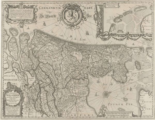
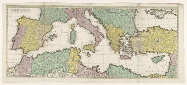
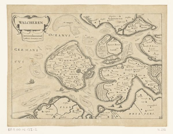
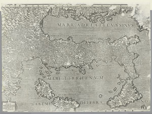
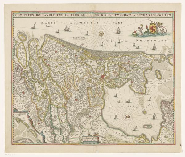
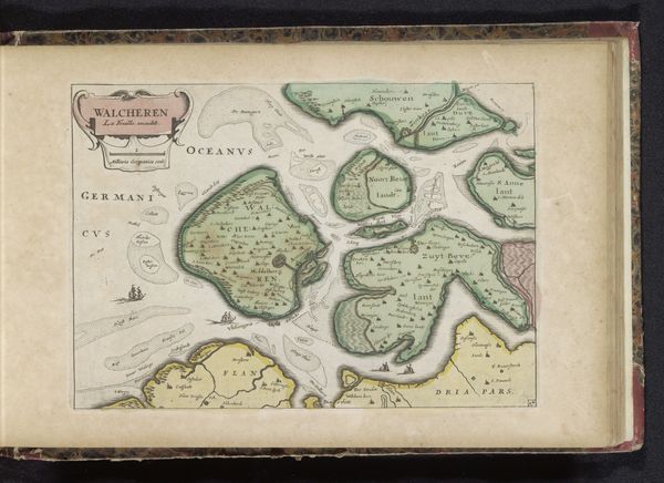
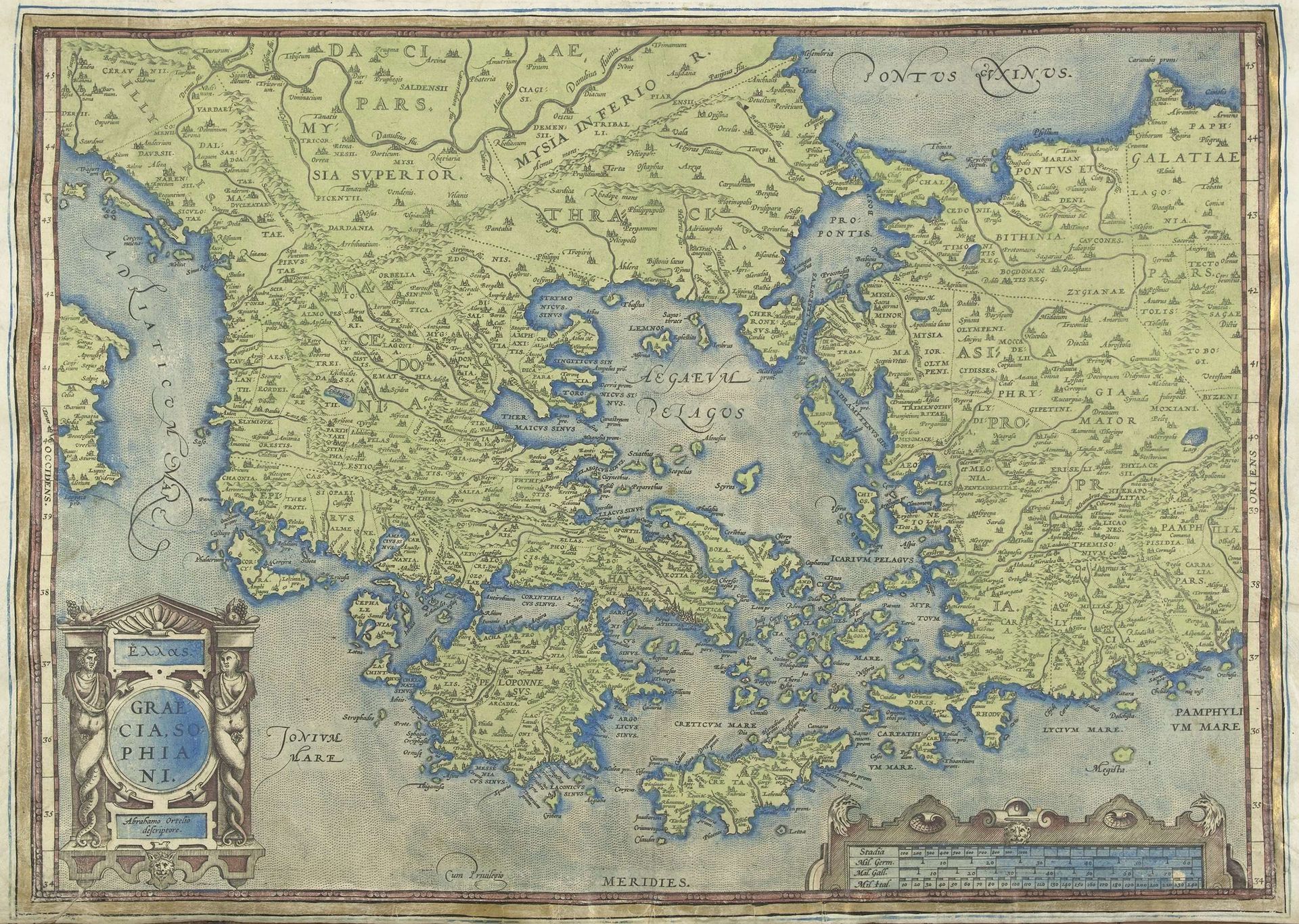
Abraham Ortelius created this map of Greece, titled "Kaart van Griekenland," using engraving techniques. Initially, one notes the subtle contrast between the landmasses, rendered in varying shades of green, and the surrounding bodies of water, depicted in soft blues. The formal structure of this map reveals more than geographical data; it embodies the era's understanding of space and knowledge. Notice the decorative cartouches—the ornamental frames containing the map's title and other information—which flank the edges of the composition, and the stylized presentation of topographical features. These elements function as signs, pointing to the cultural values placed on classical learning and exploration. The map's reliance on visual symbols speaks to a semiotic system where each element conveys specific information while also contributing to an overall aesthetic experience. Ortelius’s map is not merely a tool for navigation but a complex representation of how the world was perceived. It uses a visual language to assert control over the unknown, structuring knowledge within a grid of lines and symbols.
Artwork details
- Medium
- print, engraving
- Dimensions
- height 346 mm, width 489 mm, height 543 mm, width 378 mm
- Copyright
- Rijks Museum: Open Domain
Tags
landscape
11_renaissance
coloured pencil
ancient-mediterranean
history-painting
engraving
Comments
Be the first to share your thoughts about this work.
About this artwork
Abraham Ortelius created this map of Greece, titled "Kaart van Griekenland," using engraving techniques. Initially, one notes the subtle contrast between the landmasses, rendered in varying shades of green, and the surrounding bodies of water, depicted in soft blues. The formal structure of this map reveals more than geographical data; it embodies the era's understanding of space and knowledge. Notice the decorative cartouches—the ornamental frames containing the map's title and other information—which flank the edges of the composition, and the stylized presentation of topographical features. These elements function as signs, pointing to the cultural values placed on classical learning and exploration. The map's reliance on visual symbols speaks to a semiotic system where each element conveys specific information while also contributing to an overall aesthetic experience. Ortelius’s map is not merely a tool for navigation but a complex representation of how the world was perceived. It uses a visual language to assert control over the unknown, structuring knowledge within a grid of lines and symbols.
Comments
Be the first to share your thoughts about this work.