drawing, paper, ink, pen, engraving
#
drawing
#
baroque
#
pen drawing
#
pen illustration
#
landscape
#
paper
#
ink
#
line
#
pen
#
history-painting
#
engraving
Dimensions: height 243 mm, width 370 mm
Copyright: Rijks Museum: Open Domain
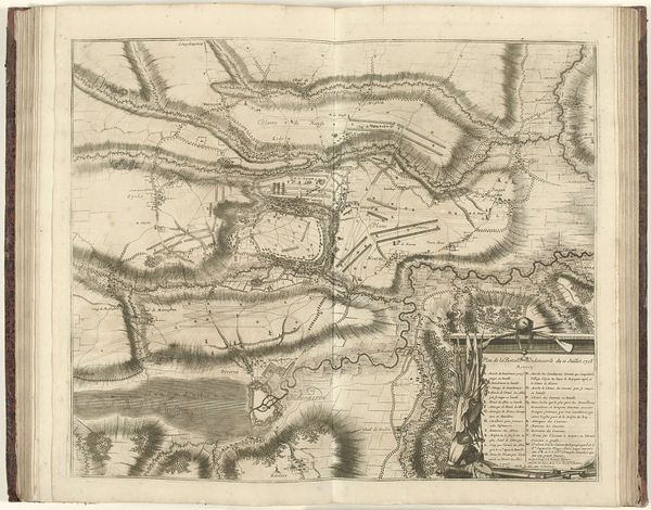
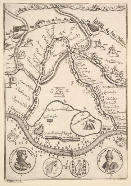
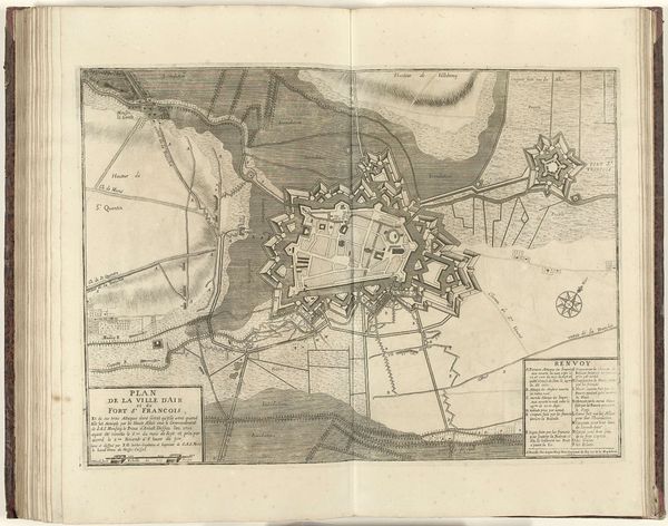
Juan Dolivar etched this map of the Battle of Fleurus in 1690, presenting a bird's-eye view of the military engagement. Linear arrangements of troops dominate the scene, their positions meticulously documented as symbols of strategic intent. These formations evoke echoes of ancient Roman battle maps, where order and control were visually asserted. This recalls, for instance, the visual strategies employed in the Peutinger Table, where roads and settlements were methodically laid out to project power and knowledge. Just as the Romans used maps to solidify their dominion, Dolivar employs similar techniques to immortalize a moment of military triumph. The act of mapping, like myth-making, serves to distill chaotic events into comprehensible narratives. The image engages viewers on a deep, subconscious level, resonating with our innate desire to impose order on the world, echoing the endless cycle of conflict and comprehension throughout human history.
Comments
No comments
Be the first to comment and join the conversation on the ultimate creative platform.
More like this