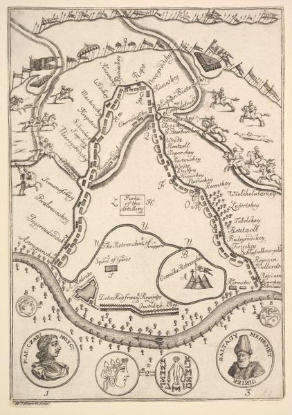
drawing, print, paper, ink, engraving
#
drawing
#
baroque
# print
#
landscape
#
paper
#
ink
#
history-painting
#
engraving
Dimensions: height 160 mm, width 187 mm
Copyright: Rijks Museum: Open Domain
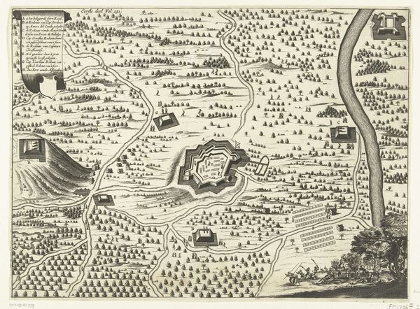
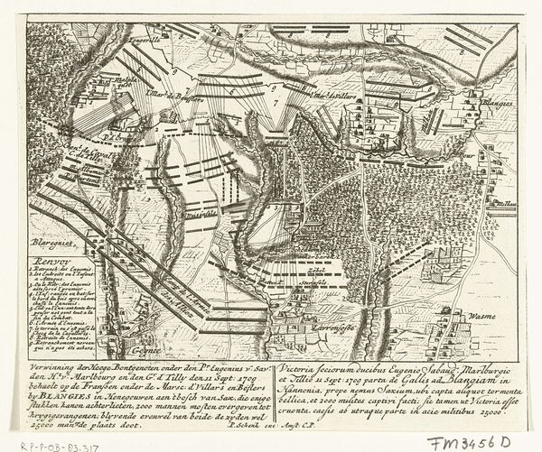
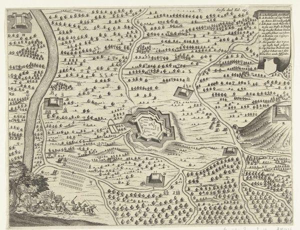
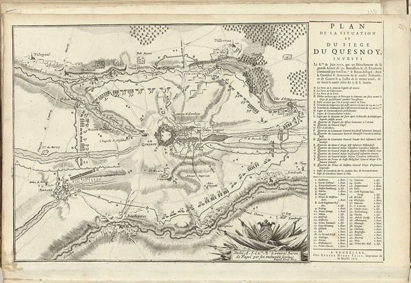
This is Pieter Schenk’s 1708 map of the Battle of Oudenaarde, now held at the Rijksmuseum. Consider the social position of mapmakers in the 18th century; they were key to military, economic and political power. Schenk's detailed rendering visualizes not just geography, but a specific, strategic narrative of the battle. Note how the map meticulously charts troop movements and fortifications. What does it mean to reduce human conflict to lines and symbols? Examine the emotional distance in this representation. While the map serves a functional purpose, it also sanitizes the brutal realities of war. It transforms a landscape of potential suffering and death into an ordered, comprehensible space. How might those who fought in the battle have viewed such a representation? This map invites us to reflect on the relationship between power, knowledge, and the human cost of conflict.
Comments
No comments
Be the first to comment and join the conversation on the ultimate creative platform.
More like this