drawing, ink, engraving
drawing
baroque
landscape
etching
ink
geometric
cityscape
engraving
Dimensions: height 505 mm, width 675 mm
Copyright: Rijks Museum: Open Domain
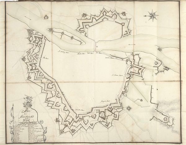
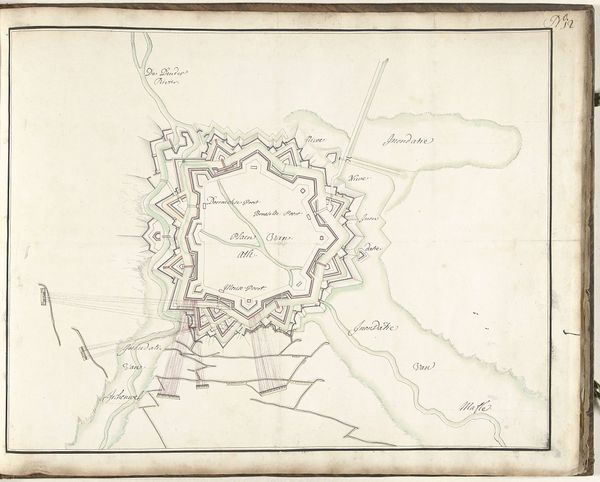
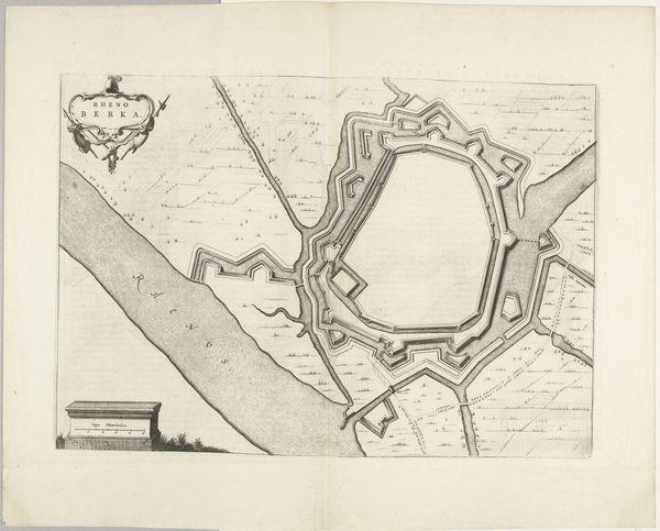
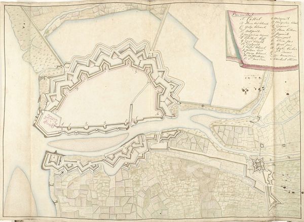
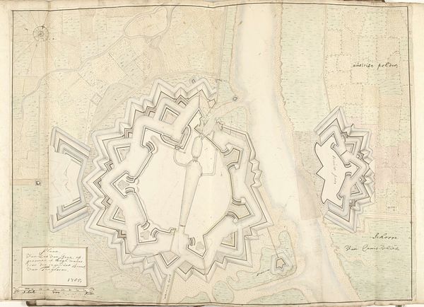
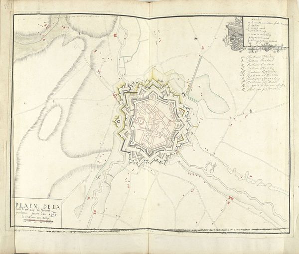
Samuel Du Ry de Champdoré created this map of Mannheim, likely between 1701 and 1715, using ink and watercolor on paper. The materials here – humble, portable, and easily reproduced – are key to understanding its purpose. The controlled lines and washes, so characteristic of the period, give us a bird’s-eye view of the city’s fortifications. But the real story is the labor involved. To produce this image, someone had to carefully survey the land, translate the findings into a graphic, and render it all with precision. Cartography was a vital technology in the early modern era, central to military strategy, territorial control, and economic expansion. This wasn’t just art, it was a tool of power. The very act of mapping a place laid claim to it. By focusing on the making of this image, we can appreciate how it played a crucial role in shaping the world.
Comments
No comments
Be the first to comment and join the conversation on the ultimate creative platform.