drawing, print, etching
#
architectural sketch
#
drawing
#
medieval
# print
#
etching
#
landscape
#
perspective
#
line
#
cityscape
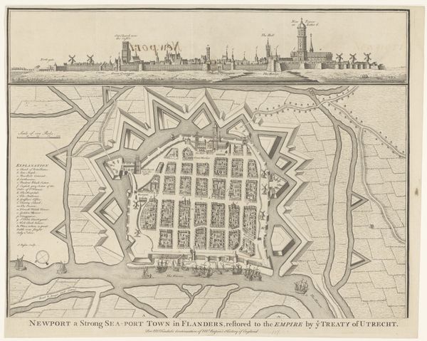
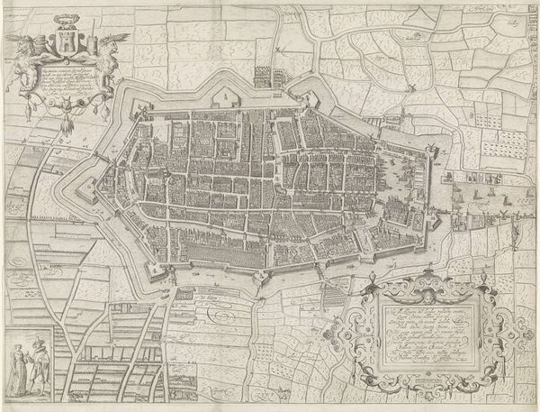
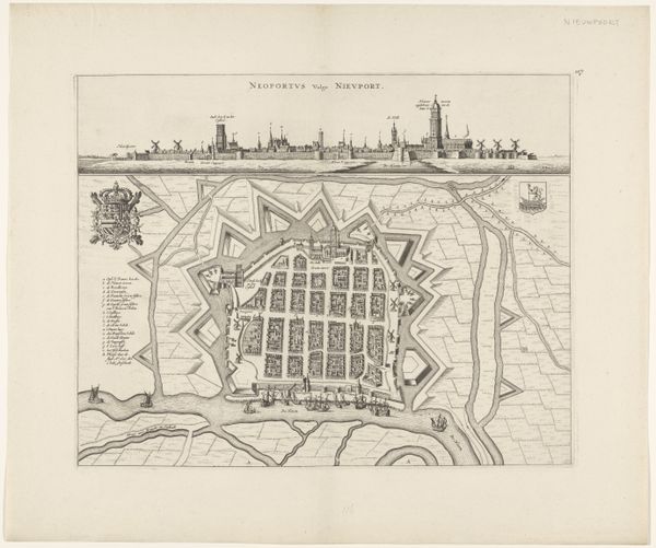
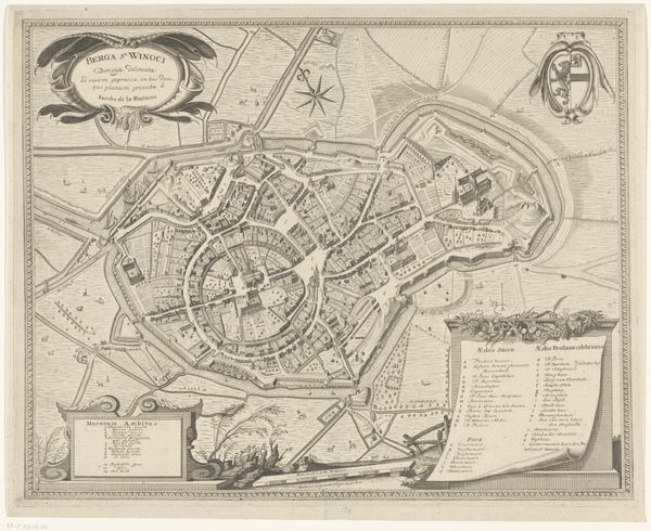
Dimensions: height 394 mm, width 521 mm
Copyright: Rijks Museum: Open Domain
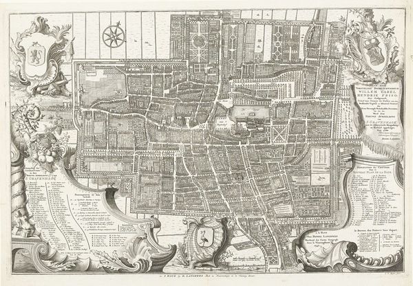
Adam van Vianen I created this intricate map of Utrecht with ink around the turn of the 17th century. Three distinct horizontal layers structure the composition: two eye-level cityscapes sandwich an aerial view of the city. Note how van Vianen renders Utrecht not just as a physical space but as a network of signs. Each building, canal, and street is meticulously drawn, forming a complex semiotic system. The aerial view transforms the city into a legible text, inviting us to decode its underlying order. This structured representation reflects the period's fascination with rational planning and control. Consider how the interplay of perspective and scale challenges fixed viewpoints, destabilizing conventional modes of representation. Van Vianen's Utrecht operates as both a practical tool for navigation and a philosophical statement about humanity's ability to understand and organize the world. This engraving isn't just a map; it's a carefully constructed vision of urban space.
Comments
No comments
Be the first to comment and join the conversation on the ultimate creative platform.
More like this