print, engraving
#
medieval
#
dutch-golden-age
# print
#
landscape
#
geometric
#
cityscape
#
engraving
Dimensions: height 392 mm, width 495 mm
Copyright: Rijks Museum: Open Domain
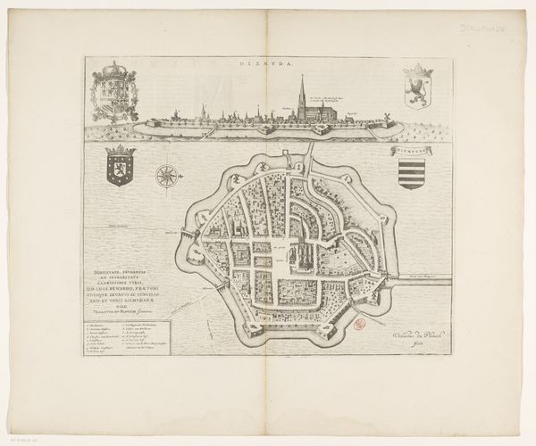
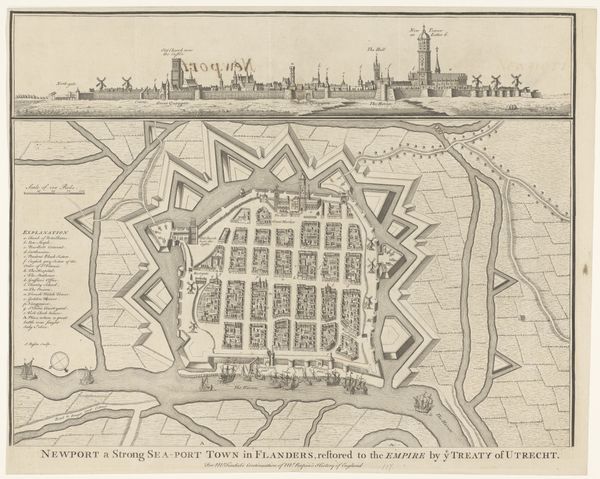
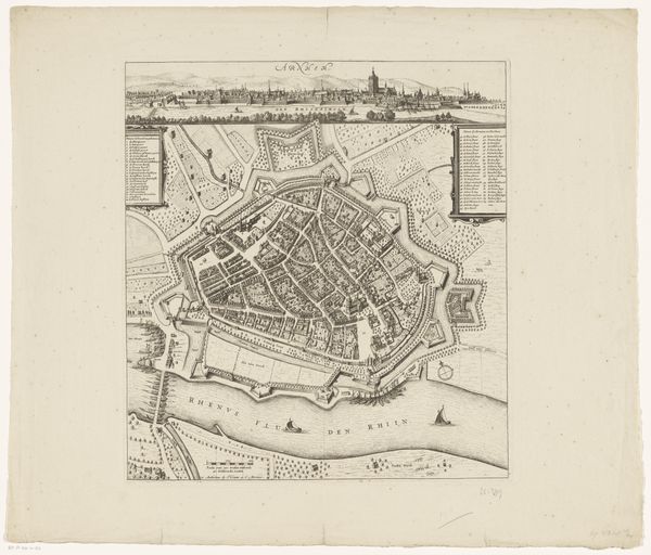
This detailed map of Nieuwpoort was made by an anonymous artist using engraving, a printmaking technique that involves incising lines into a metal plate, which is then inked and pressed onto paper. Look closely, and you can see the precision required to create this image: from the sharp lines that define the city's fortifications, to the delicate shading that gives depth to the buildings. The map offers both a bird's-eye view and a profile of the city, each rendered with meticulous detail. The fortifications surrounding Nieuwpoort speak to the city's strategic importance, while the ships offshore hint at its role in trade and commerce. Engraving was a labor-intensive process that required specialized skills, and the resulting prints were often valued for their accuracy and artistry. In this case, the engraver likely relied on surveying techniques to accurately depict the city's layout. By examining the materials and processes used to create this map, we can gain a deeper appreciation for the artistry and technical skill involved in its production, as well as the social and political context in which it was made.
Comments
No comments
Be the first to comment and join the conversation on the ultimate creative platform.
More like this