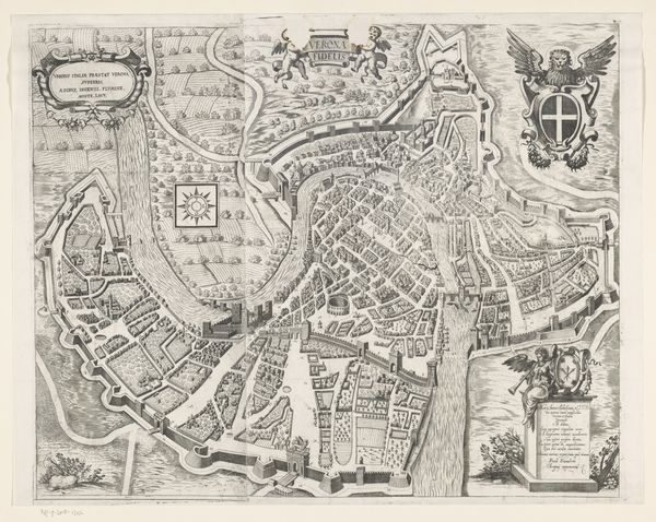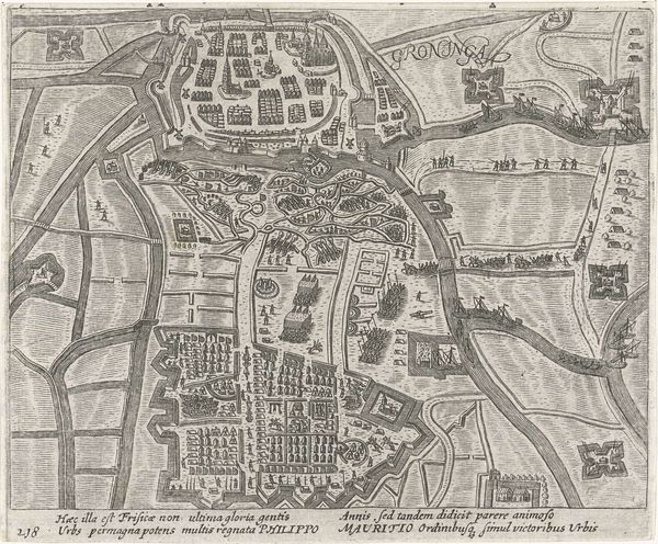
Curatorial notes
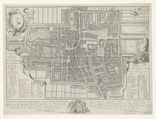
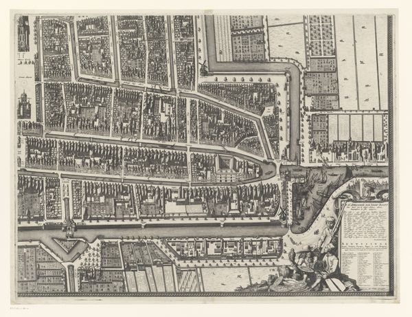
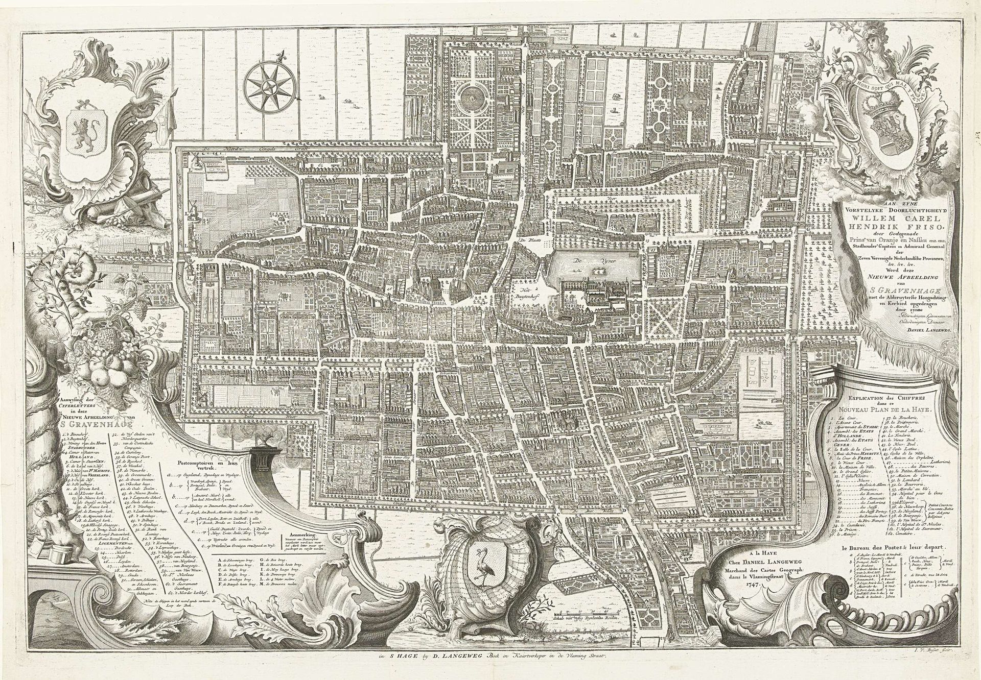
Iven Besoet created this city map of The Hague, using ink on paper, sometime before 1769. The stark contrast and fine lines draw us into a detailed network of streets and structures, offering a bird's-eye view of urban space. The map's composition is meticulously organized. Notice how the layout of the city is not merely representational; the structural arrangement of buildings, roads, and green spaces suggests a deliberate ordering of society. The inclusion of decorative elements, such as coats of arms and ornamental cartouches, frames the city within a symbolic context of power and heritage. The lines create boundaries, defining spaces and social order. The texture of the paper and the precision of the linework invite us to consider the material reality of urban planning as a form of control and communication. Consider how such maps not only reflect but also construct our understanding of space, power, and identity. In viewing this map, we are invited to interpret the city as a text, with its own grammar, syntax, and cultural codes.