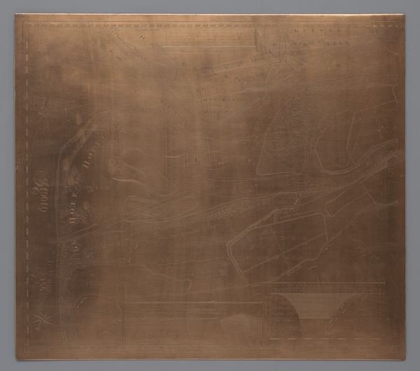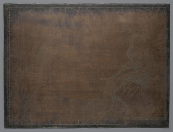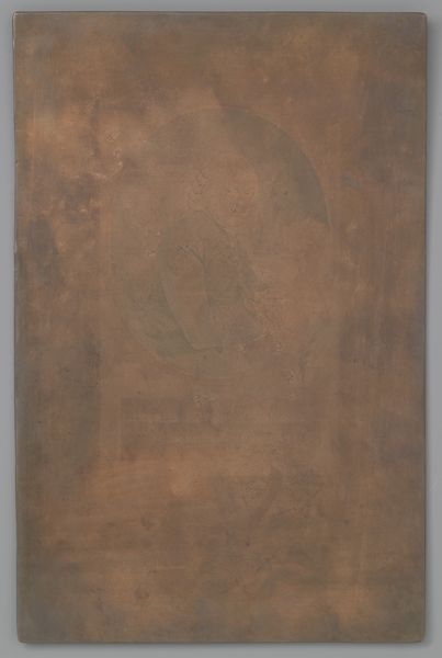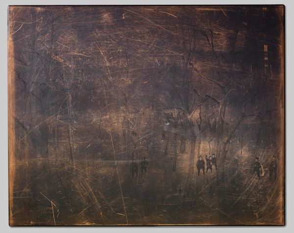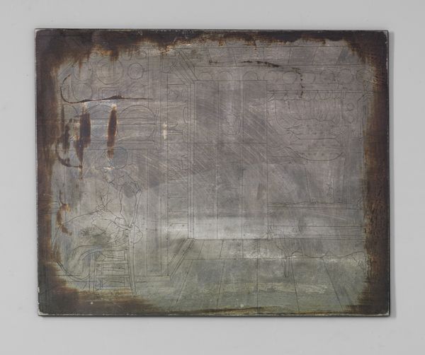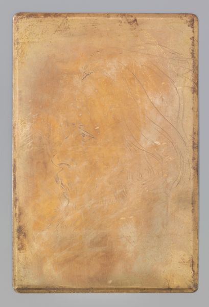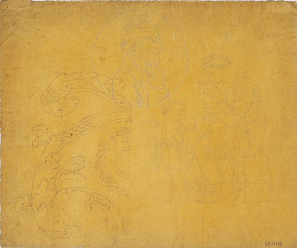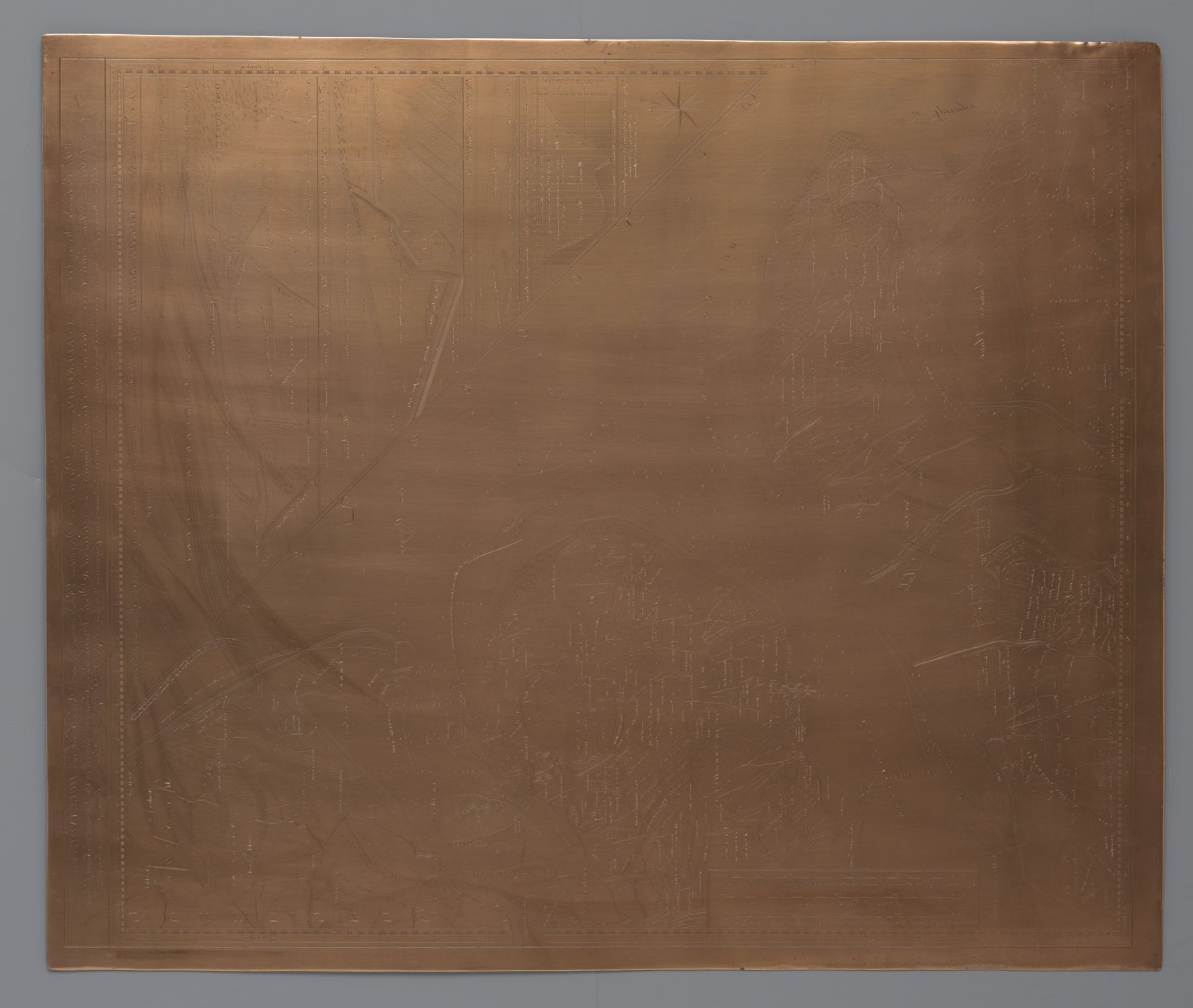
1733 - 1734
Koperplaat met een kaart van Westvoorne of Goedereede
Listen to curator's interpretation
Curatorial notes
David Coster created this copper plate depicting a map of Westvoorne or Goedereede in the Netherlands, sometime before his death in 1752. The work offers a glimpse into the cultural and economic landscape of the Dutch Republic during the 18th century. The image is not just a geographical representation, but also a statement about Dutch identity and power. During this period, the Netherlands was a major maritime power with extensive trade networks. Cartography played a crucial role, not only in navigation but also in asserting control over territories. This copper plate likely served administrative purposes, documenting land ownership and resource distribution. Understanding the historical context of this piece requires research into Dutch maritime history, the role of cartography in governance, and the social structures of the Dutch Republic. Only then can we fully appreciate the plate’s significance as a cultural and historical artifact.