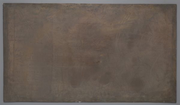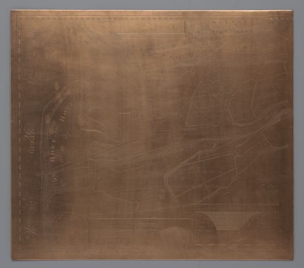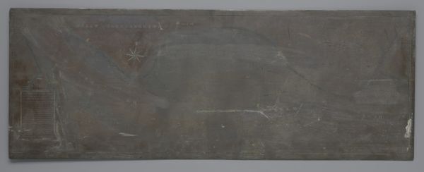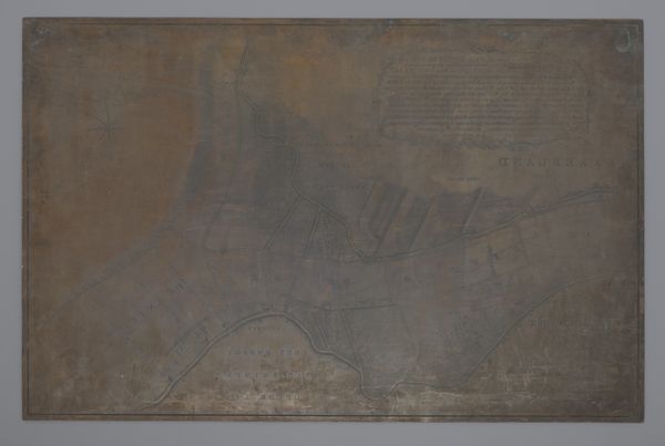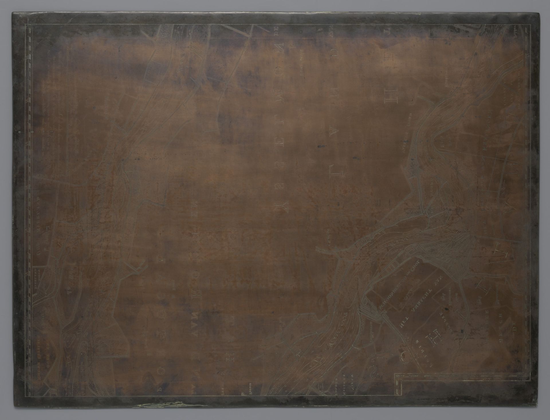
after 1741
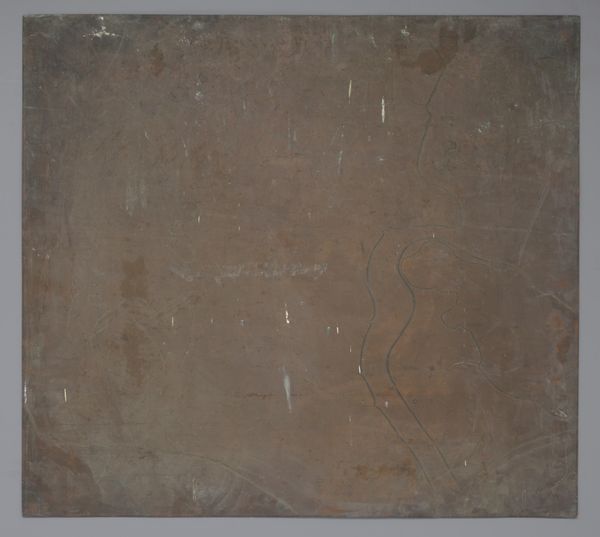
Koperplaat met een kaart van het Land van Roon en Portugal en het Land van IJsselmonde
Listen to curator's interpretation
Curatorial notes
This copperplate by David Coster captures the contours of the Land van Roon, Portugal, and IJsselmonde. Its lines etch more than mere geography; they trace the very pathways of human connection and dominion. Maps, such as this one, have long served as potent symbols of power and understanding, tools to orient ourselves within the world. Here, the mapping of territory becomes a gesture towards control and knowledge, akin to the divine act of creation itself. The grid-like structure of the landscape echoes the ordered cosmos, hinting at a deeper psychological need to structure and comprehend our surroundings. This plate stands as a testament to our enduring quest to chart not only the earth but also our place within its grand, interconnected design.