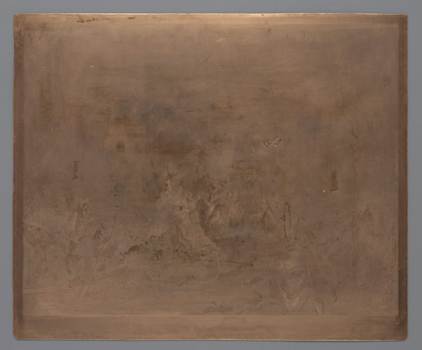
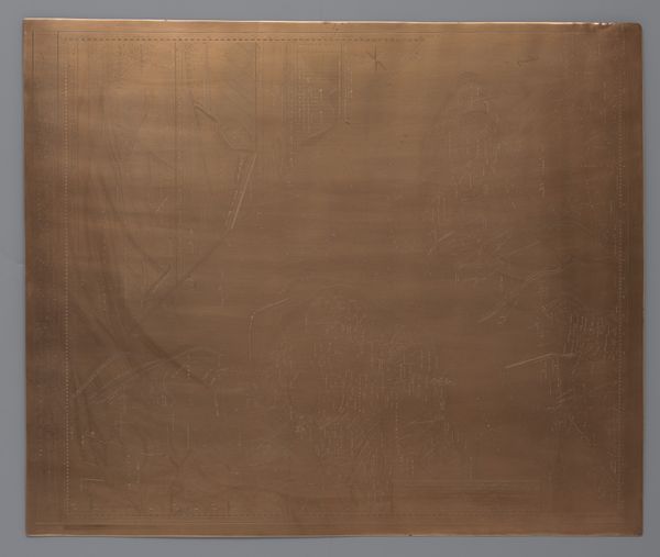
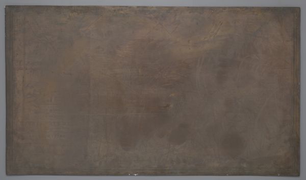
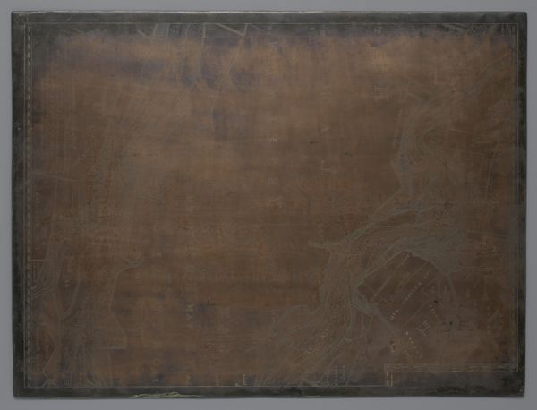
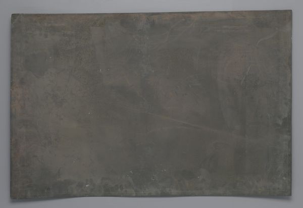
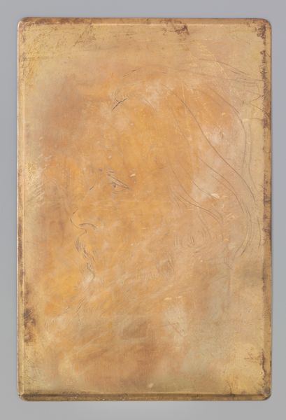
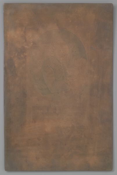
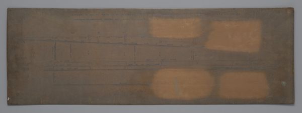
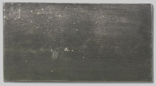
Koperplaat met een kaart van de Maas van Hoek van Holland tot voor Zwartewaal 1738 - 1739
0:00
0:00
print, engraving
#
baroque
# print
#
landscape
#
geometric
#
line
#
engraving
Dimensions: height 587 mm, width 660 mm
Copyright: Rijks Museum: Open Domain
David Coster created this copper plate depicting the Maas River in the Netherlands sometime before his death in 1752. The image provides a fascinating look into the world of Dutch cartography and its role in shaping the nation’s identity and power. This map isn't just a geographical representation; it's a cultural artifact. Consider the historical context: the Netherlands in the 18th century was a major maritime power, and detailed maps like this one were essential for trade, navigation, and military strategy. The level of detail suggests the importance of the Maas River to the Dutch economy and defense. Institutions such as the Dutch East India Company relied heavily on such cartography. Understanding this piece requires delving into archives, studying trade routes, and examining the political history of the Netherlands. Only then can we appreciate how this map reflects the ambitions and priorities of a nation at the height of its global influence.
Comments
No comments
Be the first to comment and join the conversation on the ultimate creative platform.
More like this