drawing, paper, ink, engraving
#
drawing
#
aged paper
#
baroque
#
pen drawing
#
pen sketch
#
sketch book
#
paper
#
personal sketchbook
#
ink
#
geometric
#
pen-ink sketch
#
pen work
#
sketchbook drawing
#
history-painting
#
storyboard and sketchbook work
#
sketchbook art
#
engraving
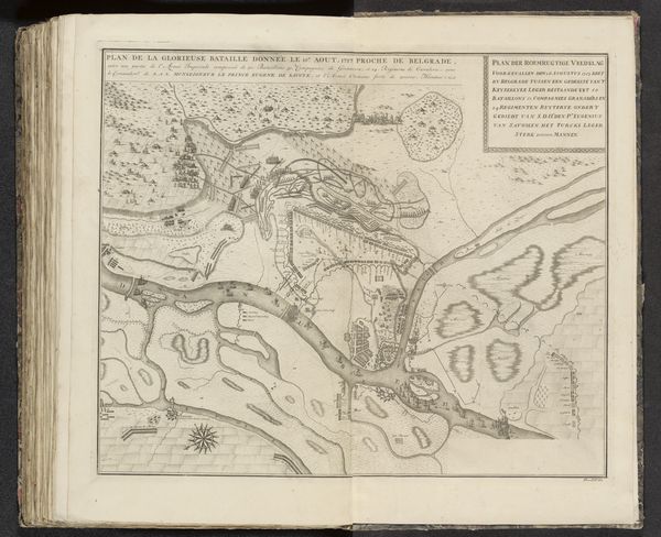
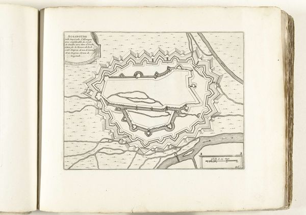
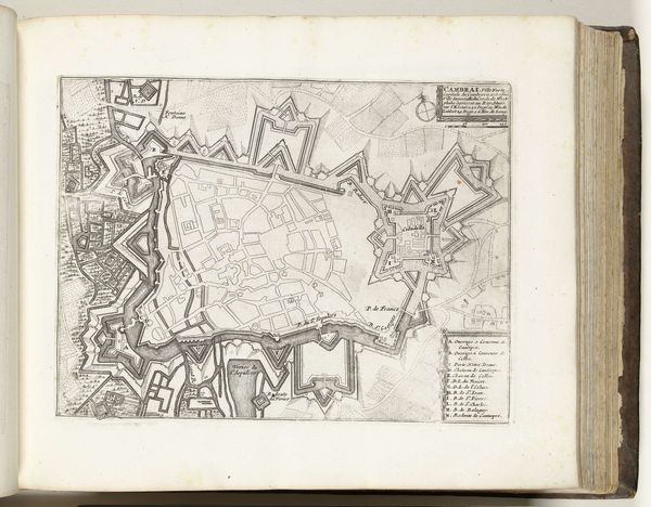
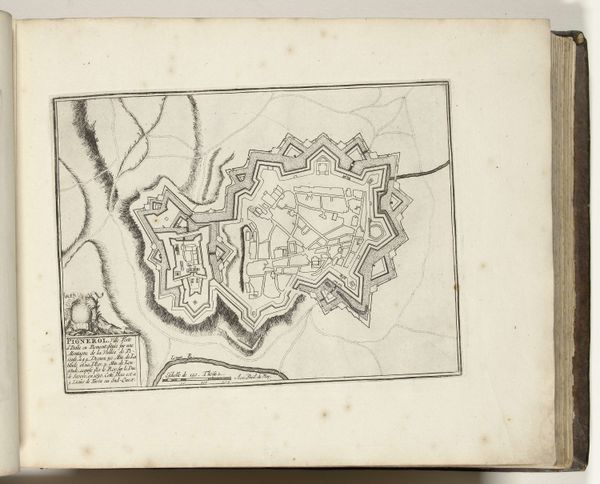
Dimensions: height 456 mm, width 560 mm
Copyright: Rijks Museum: Open Domain
This is an anonymous map from 1716, detailing the battle of Petrovaradin. Executed with fine lines, the monochromatic palette emphasizes form, creating an absorbing network of topographical details. The composition is structured around the confluence of rivers, a strategic point depicted with remarkable precision. The map’s perspective offers a bird’s-eye view, abstracting the landscape into a series of signs, a semiotic system where each line and shape represents a real feature. This cartographic representation is not merely descriptive; it reflects the period's obsession with order and control. The map destabilizes our understanding of space. It invites us to consider how such visual encoding shapes our perception of territory and power. Notice how the intricate linework transforms chaotic geography into a structured, comprehensible form. This process reveals that the map isn't just a depiction but a constructed view of reality.
Comments
No comments
Be the first to comment and join the conversation on the ultimate creative platform.
More like this