drawing, print, ink, engraving
#
drawing
#
baroque
# print
#
ink
#
geometric
#
cityscape
#
engraving
Dimensions: height 212 mm, width 281 mm
Copyright: Rijks Museum: Open Domain
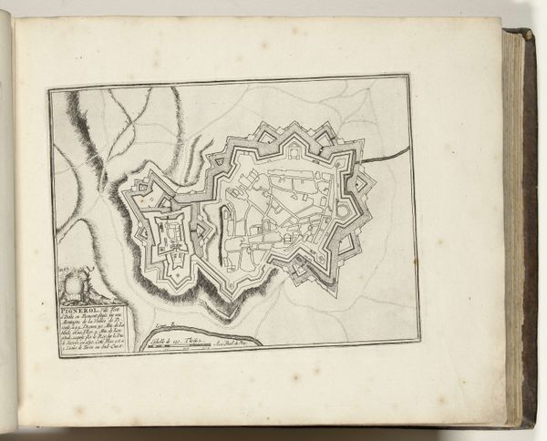
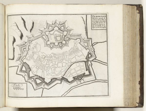
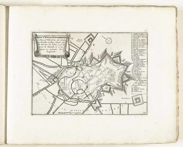
This anonymous map of Cambrai, dating from around 1695, presents a meticulously detailed bird’s-eye view, etched with fine lines that delineate the city's fortifications and urban layout. The composition is dominated by the star-shaped defensive structures surrounding the inner grid of streets and buildings. Notice how the mapmaker uses line and form to convey strategic information. The geometric precision of the fortifications speaks to the era's military engineering, while the delicate rendering of the town's interior hints at the everyday life within. This interplay between the macro and micro, the strategic and the quotidian, invites us to consider the map not just as a functional document, but as a representation of power and space. Consider the semiotics of the map: lines become borders, shapes define territories, and the overall structure conveys a sense of order and control. Yet, the very act of mapping implies a certain level of abstraction and interpretation, challenging the notion of objective representation. Through its intricate lines and geometric forms, this map offers a glimpse into the complex relationship between space, power, and knowledge in the late 17th century.
Comments
No comments
Be the first to comment and join the conversation on the ultimate creative platform.
More like this