The City of New York: Longworth's Explanatory Map and Plan 1817
drawing, print, engraving
drawing
neoclacissism
architectural drawing
cityscape
engraving
Dimensions: plate: 19 1/8 x 19 1/8 in. (48.6 x 48.6 cm) sheet: 20 x 29 3/4 in. (50.8 x 75.6 cm)
Copyright: Public Domain
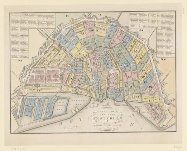
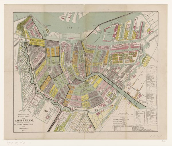
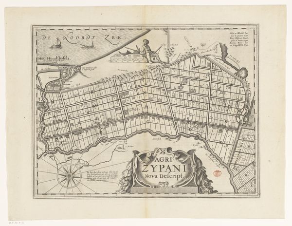
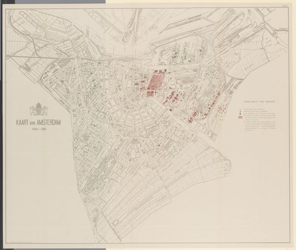
David Longworth’s map of New York, printed with engraving, etching, and watercolor, presents the city as an exercise in calculated order and design. The neat grid of streets and blocks is punctuated by the soft colors used to differentiate wards. Here, New York's urban space is rendered through semiotic systems of signs and symbols. The buildings at the top, rendered in elevation, are meant to function as symbols of civic pride, and the carefully inscribed lists of names are signs of commercial and political importance. The map flattens and regularizes the topography, transforming it into an abstract and symbolic representation. The color-coded districts could represent the city's social and economic stratification, implying power and privilege. Ultimately, Longworth's map is a testament to the city's rationalized form. Its aesthetic lies in its claim to present objective data, and it's intended to communicate order, control, and progress. But we must also recognize that it represents a specific interpretation of urban space. This map invites us to consider how urban spaces are not just lived in, but also conceived, represented, and ultimately governed.
Comments
No comments
Be the first to comment and join the conversation on the ultimate creative platform.