graphic-art, print, engraving
#
graphic-art
# print
#
landscape
#
11_renaissance
#
northern-renaissance
#
engraving
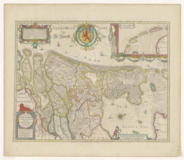
Dimensions: height 355 mm, width 485 mm
Copyright: Rijks Museum: Open Domain
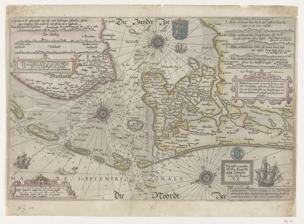
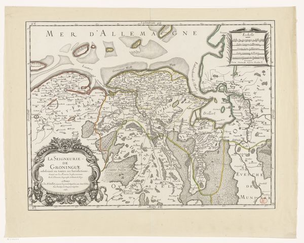
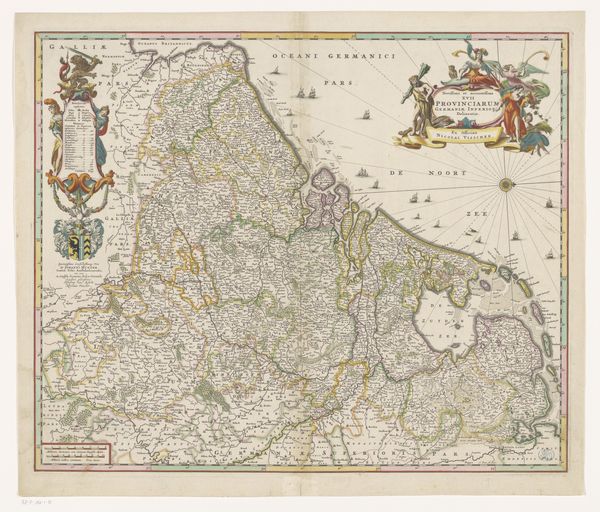
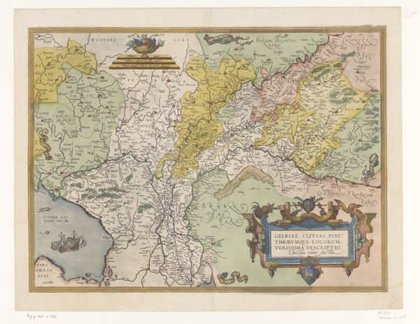
This is Frans Hogenberg's "Kaart van het graafschap Holland," a map of the province of Holland, made sometime between 1540 and 1590. It is part of a broader project, the “Civitates Orbis Terrarum,” in which Hogenberg, along with Georg Braun, set out to map the world. But let’s consider maps as more than mere documents of geography. Maps are cultural artifacts. They reflect not only the physical landscape but also the societal values, power dynamics, and historical narratives of the time they were made. As cartographers mapped territories, they laid claim to them. They defined borders, named places, and visually asserted control. What results is a fascinating glimpse into how identity and territory were understood, negotiated, and visually represented during a period of exploration, colonization, and nation-building. What does it mean to inscribe yourself on the land?
Comments
No comments
Be the first to comment and join the conversation on the ultimate creative platform.
More like this