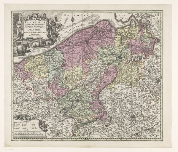
print, etching
#
dutch-golden-age
# print
#
etching
#
landscape
#
etching
Dimensions: height 514 mm, width 596 mm
Copyright: Rijks Museum: Open Domain
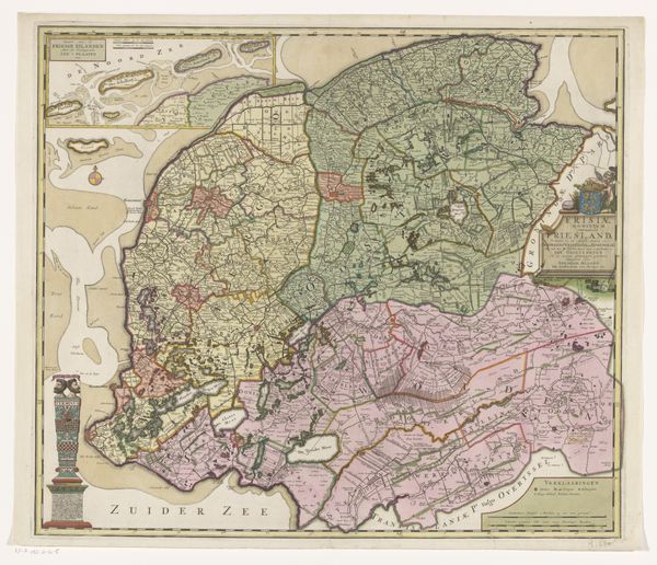
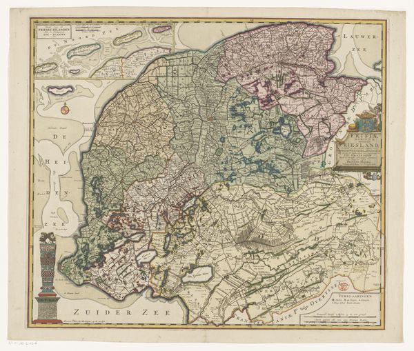
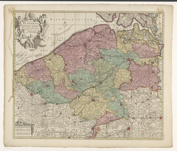
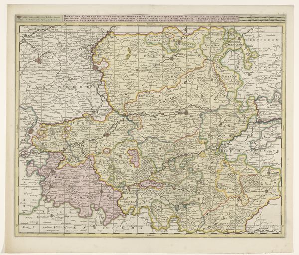
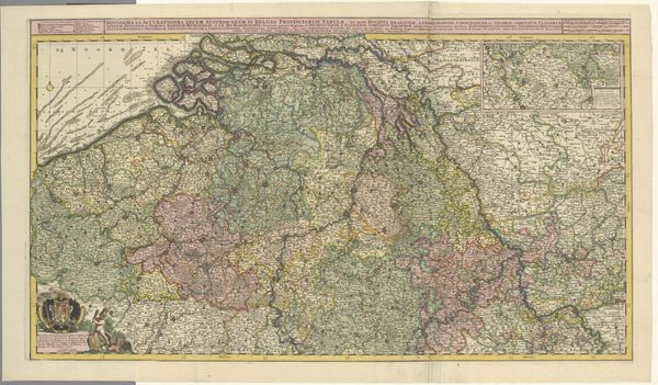
Here we have an anonymous map of Friesland, whose date of creation is unknown, held at the Rijksmuseum. The traditional function of maps involves the control, management, and claiming of land and resources. Friesland, located in the northern Netherlands, has a unique history, shaped by its geographical location and constant struggle against the sea. Historically, it was characterized by a unique form of self-governance and a strong sense of regional identity. This map would have served not only as a geographical tool, but also as a declaration of cultural and political identity. Every line, color, and symbol reflects the complex relationship between the land and its people. The map invites us to consider how regional identity is constructed, maintained, and asserted through visual representations of space. Each of these is infused with histories of resilience, self-determination, and a deep connection to the land.
Comments
No comments
Be the first to comment and join the conversation on the ultimate creative platform.
More like this