graphic-art, print, engraving
#
graphic-art
#
baroque
# print
#
pen illustration
#
old engraving style
#
ink line art
#
linework heavy
#
pen-ink sketch
#
thin linework
#
line
#
pen work
#
cityscape
#
engraving
Dimensions: height 172 mm, width 276 mm
Copyright: Rijks Museum: Open Domain
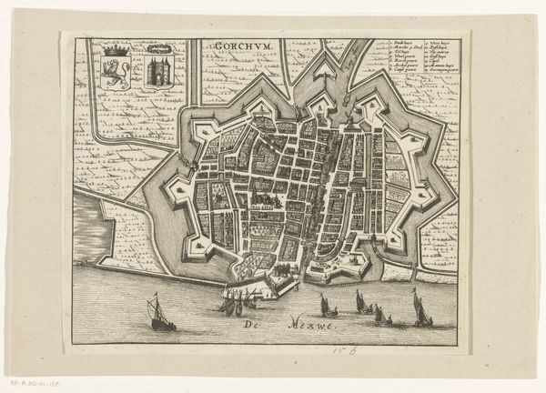
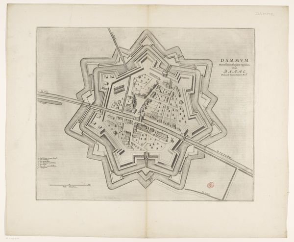
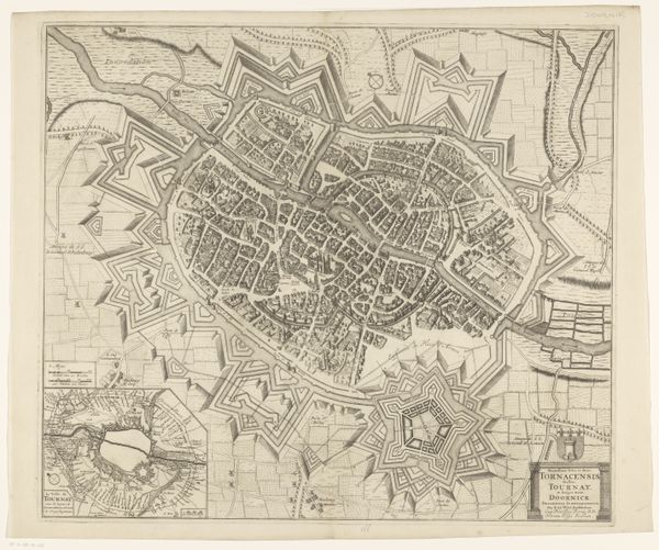
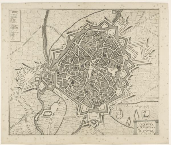
This anonymous map of Hulst was likely made in the Netherlands during the 17th century. It presents not just a geographical layout, but also a worldview shaped by power and defense. The star-shaped fortifications immediately grab attention. These weren't merely aesthetic choices; they reflected the era's military strategies, designed to protect against cannon fire. Hulst's position, near the border with the Spanish Netherlands, made it a strategic location. The map’s emphasis on defense reveals a society deeply concerned with territorial control and the ever-present threat of conflict. Identifying key buildings such as the Groote Kerk helps us understand the relative influence of religious institutions. To fully appreciate such a map, we need to delve into archives, military records, and period literature. The historian's job is to piece together the story of Hulst, a city shaped by conflict, faith, and the ambitions of its time.
Comments
No comments
Be the first to comment and join the conversation on the ultimate creative platform.
More like this