drawing, print, engraving
#
drawing
# print
#
landscape
#
romanticism
#
orientalism
#
academic-art
#
engraving
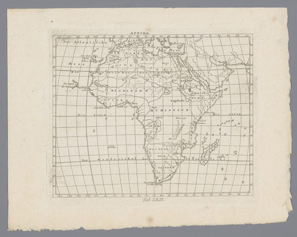
Dimensions: height 330 mm, width 375 mm
Copyright: Rijks Museum: Open Domain
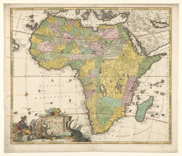
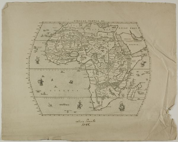
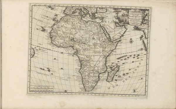
Curator: Welcome to this intriguing cartographical artifact, a printed engraving titled "Kaart van Afrika," or "Map of Africa," crafted by Johann Carl Ausfeld sometime between 1828 and 1834. It's fascinating, isn't it? Editor: It certainly is. At first glance, it looks so academic, precise even. Yet, beneath that veneer, there's a certain… violence, perhaps, inherent in claiming to definitively represent a place. It’s very telling of that era. Curator: Yes, these maps are never objective. But observe the lines and details here; it really gives insight into the world view, the collective understanding, of Africa at the time through European eyes. Note how parts are very detailed, contrasted by the haziness of the interior. What could those regions possibly represent, culturally and emotionally, at the time it was made? Editor: Exactly. The engraving style, typical of its period, presents a neatly divided, easily digestible version of a continent still largely unknown to Europeans. It promotes the visual trope that Africa is somehow “discoverable” or ‘knowable’, thus justifying its exploration and colonization. That academic style, the “objective” viewpoint, actually serves a very specific, very subjective purpose. Curator: I agree. The mapmakers are also very fascinated by certain visual details, like for instance how major rivers and trade routes have an almost iconographic character here; they’re imbued with deeper symbolic significance of wealth, movement, and power. Editor: I wonder too how those early audiences responded. We understand how such a visual product became a kind of tool of oppression; at the time it would have also been seen as a work of Romantic ambition or scientific achievement. Curator: Indeed. These maps weren't just representations of space; they were carefully crafted tools to project power, rationalize exploration and occupation, all wrapped in this package of knowledge and discovery. Thank you for helping uncover it. Editor: My pleasure. The map stands as a potent reminder of how even the seemingly objective records are embedded with perspectives, politics, and the ideologies of its time. We’re constantly mapping meaning onto reality, or vice versa.
Comments
No comments
Be the first to comment and join the conversation on the ultimate creative platform.
More like this